
Vehicle registration JH Population 175,087 (2011) | Time zone IST (UTC+5:30) Website giridih.nic.in | |
 | ||
Gandey block is a community development block that forms an administrative division in the Giridih Sadar subdivision of Giridih district in the Indian state of Jharkhand.
Contents
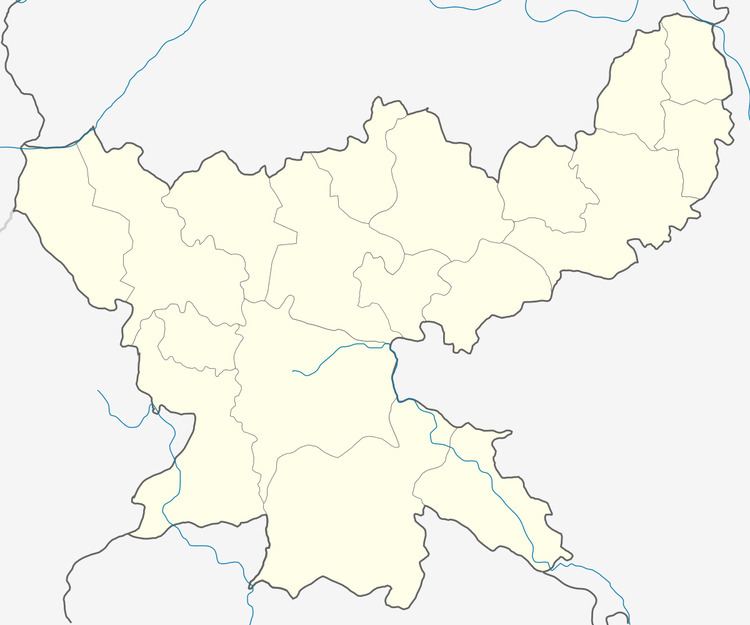
Map of Gandey, Jharkhand 815312
Geography
Gandey is located at 24°11′10″N 86°26′24″E.
Gandey CD Block covers an area of 36,609.07 hectares (90,463.0 acres), out of which 10,782.44 hectares (26,644.0 acres) was forest area.
Panchayats in Gandey CD Block are: Badkitand, Jharghatta, Dasdih, Barmasiya 1, Fuljori, Ghatkul, Mednisare, Gandey, Udaypur, Champapur, Dokidih, Karribank, Barmasiya 2, Fulchi, Pandri, Taratand, Kunselwadah, Badkunda, Parwatpur, Ahiliyapur, Budhudih, Jamjori, Rasanjori, Gajkunda, Fuljhariya and Banki Kala.
Rivers in Gandey CD Block are Usri, Pichri, Barki and Jaithi.
Demographics
As per 2011 Census of India Gande CD Block had a total population of 175,087, all of which were rural. There were 90,407 males and 84,680 females. Scheduled Castes numbered 14,020 and Scheduled Tribes numbered 41,591.
Literacy
As of 2011 census, the total number of literates in Gande CD Block was 77,685 out of which 49,994 were males and 27,691 were females.
Education
Gandey CD Block has 111 primary schools, 10 middle schools and 3 high schools including Jawahar Navodaya Vidyalaya.