Name meaning Yavne Garden | Founded 1931 Local time Friday 8:45 AM | |
 | ||
Weather 17°C, Wind SW at 8 km/h, 79% Humidity | ||
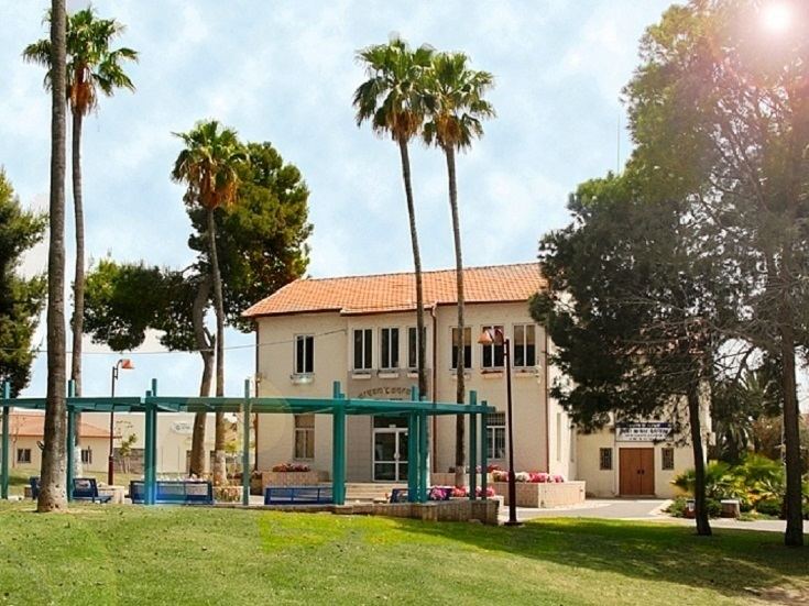
Gan Yavne (Hebrew: גַּן יַבְנֶה) is a town in central Israel, located adjacent to the city of Ashdod. Gan Yavne was founded in 1931 and achieved local council status in 1950. It lies east of the Tel-Aviv–Ashkelon highway, and is bordered to the west by Ashdod, to the north by Gederot Regional Council, and to the east and south by Be'er Tuvia Regional Council. In 2015 it had a population of 22,453.
Contents
- Map of Gan Yavne Israel
- History
- Urban development
- Education and culture
- Twin towns Sister cities
- References
Map of Gan Yavne, Israel
History
Gan Yavne was established in 1931 by the "Achuza Aleph" Company founded by several Jewish families from Russia and Poland, who had immigrated to the United States. The inspiration for its name "Gan Yavne", comes from its proximity to the historical Yavne. In 1930 land was purchased from the village of Kfar Barka and plans were drawn up to plant 400 dunams of orange groves. After negotiations with the Mandatory government between 1936 and 1938, a road was paved to Gan Yavne. The village was designed as a garden city.
Urban development
In the 1990s and 2000s Gan Yavne more than doubled its population, becoming a commuter town. The development of Highway 4 ("the coastal road"), which is a freeway between Tel Aviv and Gan Yavne junction, and also the introduction of frequent rail service to the nearby Ashdod station, allows commuters to travel to Tel Aviv in 30–45 minutes.
Education and culture
Gan Yavne has 23 kindergartens, 4 state elementary schools ("Ben Gurion", "Maccabim", "Ilan Ramon" and "Ehud Manor"), a state religious elementary school ("Sinai"), and 2 junior highs/high schools ("Ort Yitzhak Rabin" and "Ort Naomi Shemer"). "Beit Apel" youth village is located in Gan Yavne. The town has a community center and library, a community center for the aged, and several youth clubs.
Twin towns – Sister cities
Gan Yavne is twinned with:
