
Country United States FIPS code 20-25075 Elevation 412 m Local time Thursday 3:14 PM Area code 620 | State Kansas Time zone CST (UTC-06:00) GNIS feature ID 477230 Area 88.1 km² Population 219 (2010) | |
 | ||
Weather 23°C, Wind N at 13 km/h, 37% Humidity | ||
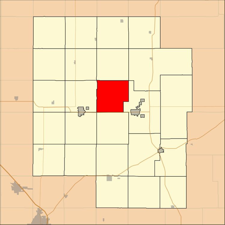
Gale Township is a township in Marion County, Kansas, United States. As of the 2010 census, the township population was 219, including Canada and Eastshore.
Contents
Map of Gale, KS, USA
Geography
Gale Township covers an area of 34 square miles (88.1 km2). The Marion Reservoir is located in the township.
Cities and towns
The township contains the following settlements:
Cemeteries
The township contains the following cemeteries:
References
Gale Township, Marion County, Kansas Wikipedia(Text) CC BY-SA