
Platted 1969 Elevation 421 m | Time zone CST (UTC-6) Local time Friday 8:55 AM | |
 | ||
Weather -1°C, Wind NE at 21 km/h, 62% Humidity | ||
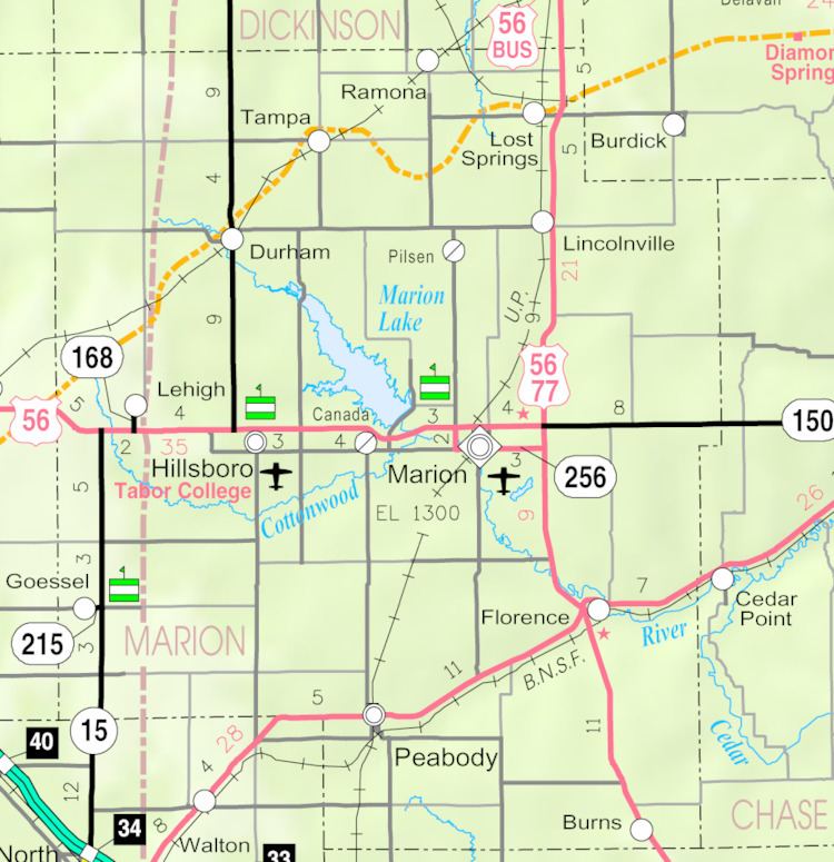
Eastshore is an unincorporated community in Marion County, Kansas, United States. The community name comes from it being near the east shore of the Marion Reservoir.
Contents
- Map of Eastshore Gale KS 66861 USA
- Early history
- 19th century
- 20th century
- Geography
- Climate
- Area attractions
- Primary and secondary education
- Transportation
- Utilities
- References
Map of Eastshore, Gale, KS 66861, USA
Early history
For many millennia, the Great Plains of North America was inhabited by nomadic Native Americans. From the 16th century to 18th century, the Kingdom of France claimed ownership of large parts of North America. In 1762, after the French and Indian War, France secretly ceded New France to Spain, per the Treaty of Fontainebleau.
19th century
In 1802, Spain returned most of the land to France. In 1803, most of the land for modern day Kansas was acquired by the United States from France as part of the 828,000 square mile Louisiana Purchase for 2.83 cents per acre.
In 1806, Zebulon Pike led the Pike expedition westward from St Louis, Missouri, of which part of their journey followed the Cottonwood River through Marion County near the current cities of Florence, Marion, Durham, and the community of Eastshore.
In 1854, the Kansas Territory was organized, then in 1861 Kansas became the 34th U.S. state. In 1855, Marion County was established within the Kansas Territory, which included the land for modern day Eastshore.
20th century
From 1964 to 1968, the Marion Reservoir was constructed. Eastshore was platted on October 13, 1969.
Geography
Eastshore is located at 38°22′55″N 97°4′26″W (38.3819584, -97.0739122), and lies immediately east of the Marion Cove of the Marion Reservoir.
Climate
The climate in this area is characterized by hot, humid summers and generally mild to cool winters. According to the Köppen Climate Classification system, Eastshore has a humid subtropical climate, abbreviated "Cfa" on climate maps.
Area attractions
Primary and secondary education
Eastshore is part of Unified School District 408. The high school is a member of T.E.E.N., a shared video teaching network between five area high schools. All students attend schools in Marion.
Transportation
U.S. Route 56 runs 1.33 miles (2.14 km) south of the community.