
Elevation 1,712 m (5,617 ft) Local time Thursday 9:17 AM | Founded 22 February 1810 Area 448.3 km² Population 5,715 (2015) | |
 | ||
Founded by Mariano de Mendoza y Bueno Weather 18°C, Wind NE at 8 km/h, 89% Humidity | ||
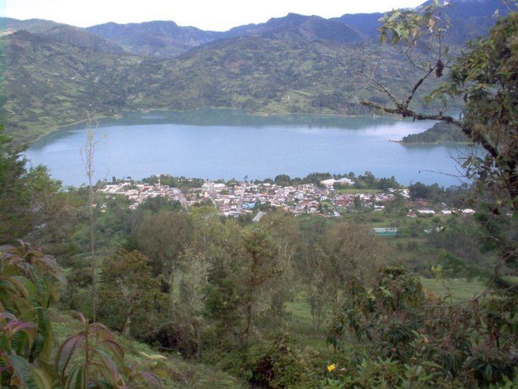
Gachalá is a municipality and town of Colombia in the Guavio Province, part of the department of Cundinamarca. The urban centre of Gachalá is situated at a distance of 148 kilometres (92 mi) from the capital Bogotá at an altitude of 1,712 metres (5,617 ft) in the Eastern Ranges of the Colombian Andes. The municipality borders the western portion of the split municipality Ubalá and the department of Boyacá in the north, the eastern part of Ubalá and Medina in the east, Fómeque, Junín and Gama in the west and Fómeque, Medina and the department of Meta in the south.
Contents
Map of Gachal%C3%A1, Cundinamarca, Colombia
Etymology
The name of Gachalá is derived from Chibcha and means "clay vessel of the night" or "defeat of the night".
History
Before the Spanish conquest of the Muisca, Gachalá was inhabited by the Chío tribe, belonging to the Muisca. As of 1548, the terrain of Gachalá belonged to the cacique of Guatavita.
Modern Gachalá was founded on February 22, 1810, by Mariano de Mendoza y Bueno.
Economy
Main economical activity in Gachalá is the hydroelectric plant of the Guavio Reservoir. Also emerald mining is an important source of income for Gachalá. The 858 carats (171.6 g) Gachalá Emerald was found in and named after Gachalá.