
Postal code 52xxx Elevation 1,120 m Local time Monday 3:49 AM | Time zone EET (UTC+2) Licence plate 52 Area 221 km² Area code 0452 | |
 | ||
Weather 2°C, Wind SE at 13 km/h, 79% Humidity | ||
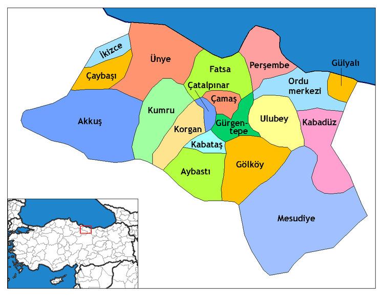
Gürgentepe is a small town and mountainous district of Ordu Province in the Black Sea region of Turkey, 48 km (30 mi) inland from the city of Ordu. According to the 2000 census, population of the district is 36,860 of which 18,313 live in the town of Gürgentepe. The district covers an area of 143 km2 (55 sq mi), and the town lies at an elevation of 1,120 m (3,675 ft).
Contents
Map of G%C3%BCrgentepe, 52610 G%C3%BCrgentepe%2FOrdu, Turkey
Features
Gürgentepe is a district of steep mountain valleys on the road between the cities of Ordu and Sivas, both transportation and agriculture are very difficult. The climate is typical of the Black Sea region with the north winds bringing humidity and much rain off the sea, although the inland side of the mountains have a dry climate. Most of the district is mountainside covered with forest and shrubs, trees including oak, chestnut and alder. The soil is volcanic, fertile and watered by mountain streams but most of the land is too steep for planting.
The villages of Gürgentepe district include Alaseher, Bahtiyarlar, Dikenlice, Gülbelen, Gültepe, Hisarcıkpınarı, Şirinköy, Tepeköy, and Tuzla.