
Belde (town) 1956 Postal code 70400 Elevation 1,335 m Local time Monday 12:22 AM | District Sarıveliler Time zone EET (UTC+2) Licence plate 70 Population 2,071 (2009) Area code 0338 | |
 | ||
Weather 2°C, Wind W at 3 km/h, 96% Humidity | ||
Göktepe (former Fariske) is a belde (town) in Karaman Province, Turkey.
Contents
- Map of 70800 GC3B6ktepe Belediyesi2FSarC4B1veliler2FKaraman Turkey
- Geography
- History
- Economy
- Future
- References
Map of 70800 G%C3%B6ktepe Belediyesi%2FSar%C4%B1veliler%2FKaraman, Turkey
Geography
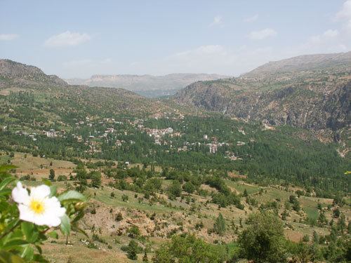
Göktepe is a belde (town) in Sarıveliler district which is a part of Karaman Province. At 36°38′N 32°37′E it is a mountain town in the Toros Mountains with an altitude of 1,600 metres (5,200 ft). Göktepe is quite detached from the main highways. The distance to Karaman is 170 kilometres (110 mi). The population was 2071 as of 2009.
History
There are ruins, caves and tombs which show that the vicinity of the town was inhabited during Roman Empire era. During Ottoman Empire, the town had been mentioned in his Seyahatname (travel book) of Evliya Çelebi (1611–1682) in the 17th century. In 1956, Göktepe had been declared township.
Economy
Göktepe is a typical agricultural town. Main crops are apples, grapes, cherries and walnuts.
Future
According to Sustainable development report prepared by the Ministry of Environment and Forestry (Turkey) the projected population of Göktepe in 2025 is 10000. The present master plan of the town is found to be insufficient for the future expansion. A new plan is proposed for the future.