
Length 517 km | Basin area 55,900 km² | |
 | ||
River mouth Liard River260 metres (850 ft) Basin size 55,900 square kilometres (21,600 sq mi) | ||
Moving the fort nelson river bridge in foul weather
The Fort Nelson River is in north-eastern British Columbia, Canada. It flows 517 kilometres (321 mi) generally north-westward to the Liard River, a tributary of the Mackenzie River, which empties into the Arctic Ocean. The river drains a watershed of 55,900 square kilometres (21,600 sq mi) and is formed by the confluence of the Fontas River flowing from the east, and the Sikanni Chief River flowing from the south. These, along with the Sahtaneh and Muskwa Rivers constitute the major tributaries. The source of the Sikanni Chief, on the eastern slope of the Rocky Mountains, is ultimately the headwater of the Fort Nelson River.
Contents
- Moving the fort nelson river bridge in foul weather
- Map of Fort Nelson River British Columbia Canada
- History
- Tributaries
- References
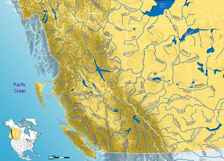
Map of Fort Nelson River, British Columbia, Canada
The land through which the river flows is generally flat, a mixture of boreal forests and muskeg. The area is rich in wildlife, and forestry and mining (especially oil and gas) are major industries.
History
The river has a rich history. The Dene and Sekani First Nations used it for food and trade. The river itself is named for the town of Fort Nelson, established in 1805 by the North West Company as a fur trading post near the river's junction with the Muskwa River. With Fort Nelson's relocation to the west following the construction of the Alaska Highway in the 1940s, there are no longer any major communities along this river.
The Fort Nelson River is formed at the confluence of Sikanni Chief River and Fontas River, at an elevation of 360 metres (1,180 ft). It flows north-west and north, while the course is paralleled by BC Rail tracks north of Fontas. It receives waters from the Elleh Creek and Klua Creek, then follows a north-west direction, a short distance from Andy Bailey Provincial Park. It turns again north near Fort Nelson, where the Muskwa River flows into the Fort Nelson River.
Further north it receives the McConachie Creek, Cridland Creek and Sahtaneh River, which also carries waters from the Snake River. It then turns north-west and west, where it receives the Shush Creek, Onion Creek, Tsimeh Creek, Stanolind Creek and Kiwigana River. It is then crossed by the Liard Highway and continues westwards, receiving waters from Tsoo Creek, Etane Creek, Obole Creek and Capot-Blanc Creek. It flows into the Liard River at Nelson Forks, at an elevation of 260 metres (850 ft).
Its waters are carried through the Liard River and Mackenzie River into the Arctic Ocean.
Tributaries
From headwaters to mouth, the Fort Nelson River receives the following tributaries: