
Area 6.68 km² | Region Normandy Population (2006) 2,789 Local time Tuesday 3:57 AM | |
 | ||
Weather 6°C, Wind S at 11 km/h, 94% Humidity | ||
Fontaine-le-Mallet is a commune in the Seine-Maritime department in the Haute-Normandie region in northern France.
Contents
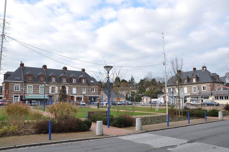
Map of Fontaine-la-Mallet, France
History
The first mention of the village dates from the eleventh century, when an abbess from Montivilliers bought 100 acres (0.40 km2) of land in order to build a church here "in villa dicitur Fontenais ad opus ecclesiae Sancta Mariae". In a register of the Secretariat of the Archdiocese of Rouen, dating from 1479 to 1480, it mentions "Parochia Fontibus le Mallet" - Mallet coming from the name of the first seigneurs - the Malet de Graville family (c. 1200–1300). Fontaine-la-Mallet grew over the centuries and was all but destroyed by bombing in September 1944. It was the most badly affected village of the lower Seine. Rebuilding of the commune was started in the 1960s.
Geography
A village of farming and forestry situated in the Pays de Caux, some 5 miles (8.0 km) north of Le Havre, near the junction of the D52 and the N328 roads.