
Country France Area 19.09 km² | Region Normandy Canton Montivilliers Population (2006) 16,451 Local time Saturday 6:27 AM | |
 | ||
Weather 9°C, Wind W at 40 km/h, 99% Humidity | ||
Montivilliers is a commune in the Seine-Maritime department in the Haute-Normandie region in northern France.
Contents
Map of 76290 Montivilliers, France
Geography
A large light industrial and farming town by the banks of the river Lézarde in the Pays de Caux, situated just 4 miles (6.4 km) north of Le Havre, at the junction of the D489, D52, D926 and D31 roads.
History
Pre-Roman archaeological discoveries include Bronze Age axes and jade jewelry. The old Roman road from here to Harfleur was destroyed by the English in 1415.
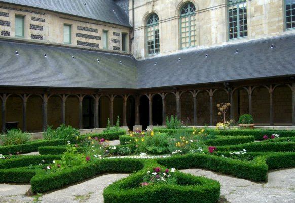
The Abbey Church of Notre-Dame, sometimes referred to as 'Montvilliers Abbey' dates back to 684, although it was destroyed a Viking raid in 850, and rebuilt as a church in both the Romanesque and Gothic styles.
Places of interest
People
Twin towns
References
Montivilliers Wikipedia(Text) CC BY-SA