
Country Algeria Elevation 305 m (1,001 ft) ONS code 1110 Area 61,313 km² Population 6,649 (2008) | Time zone CET (UTC+1) Postal code 11220 Local time Monday 11:51 PM | |
 | ||
Weather 22°C, Wind NE at 11 km/h, 12% Humidity | ||
Foggaret Ezzoua (Arabic فقارة الزوى, lit. Foggara of the Zoua) whiche means (the source of water of the zoua (الزوى) who are the origin people of the region) is a municipality in In Salah District, Tamanrasset Province, Algeria. According to the 2008 census it has a population of 6,649, up from 4,763 in 1998, with an annual growth rate of 3.5%. Its postal code is 11220 and its municipal code is 1110.
Contents
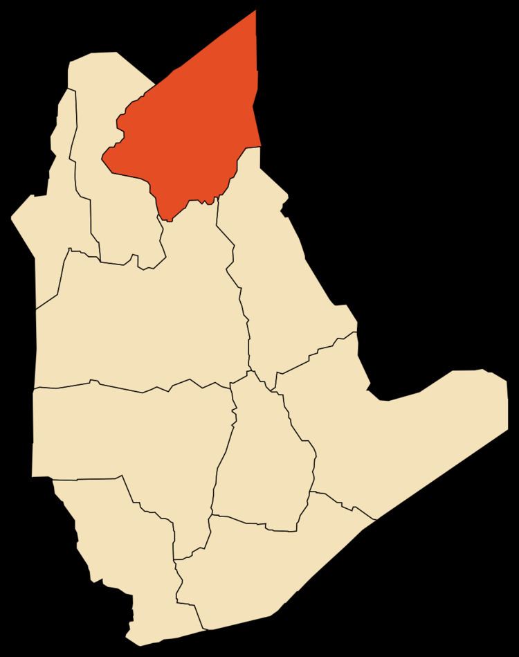
Map of Foggaret ez Zoua, Algeria
Geography
Foggaret Ezzoua lies at an elevation of 305 metres (1,001 ft) on a dry plain in the Sahara. The town is located just to the east of an oasis; separated by a line of sand dunes.
Climate
Foggaret Ezzoua has a hot desert climate (Köppen climate classification BWh), with extremely hot summers and mild winters, and very little precipitation throughout the year.
Transportation
Foggaret Ezzoua is connected to the N1 highway just north of In Salah by a local road, passing the villages of Igostène and Hassi Lahdjar on the way. Another track leads south to the villages of Silafène and Hinoune.
Education
4.5% of the population has a tertiary education, and another 16.5% has completed secondary education. The overall literacy rate is 82.2%, and is 91.1% among males and 72.4% among females; all three figures are the second highest in the province after the commune of In Ghar.
Localities
The commune is composed of five localities: