
Country Algeria Elevation 258 m (846 ft) ONS code 1103 Local time Saturday 3:33 PM Postal code 11210 | District In Ghar (coextensive) Time zone CET (UTC+01) Area 28,969 km² Population 11,225 (2008) | |
 | ||
Weather 31°C, Wind E at 26 km/h, 8% Humidity | ||
In Ghar (Arabic: عين غار, lit. Cave spring) is a town and commune, coextensive with the district of In Ghar, in Tamanrasset Province, Algeria. According to the 2008 census it has a population of 11,225, up from 8,059 in 1998, with an annual growth rate of 3.4%. Its postal code is 11210 and its municipal code is 1103.
Contents
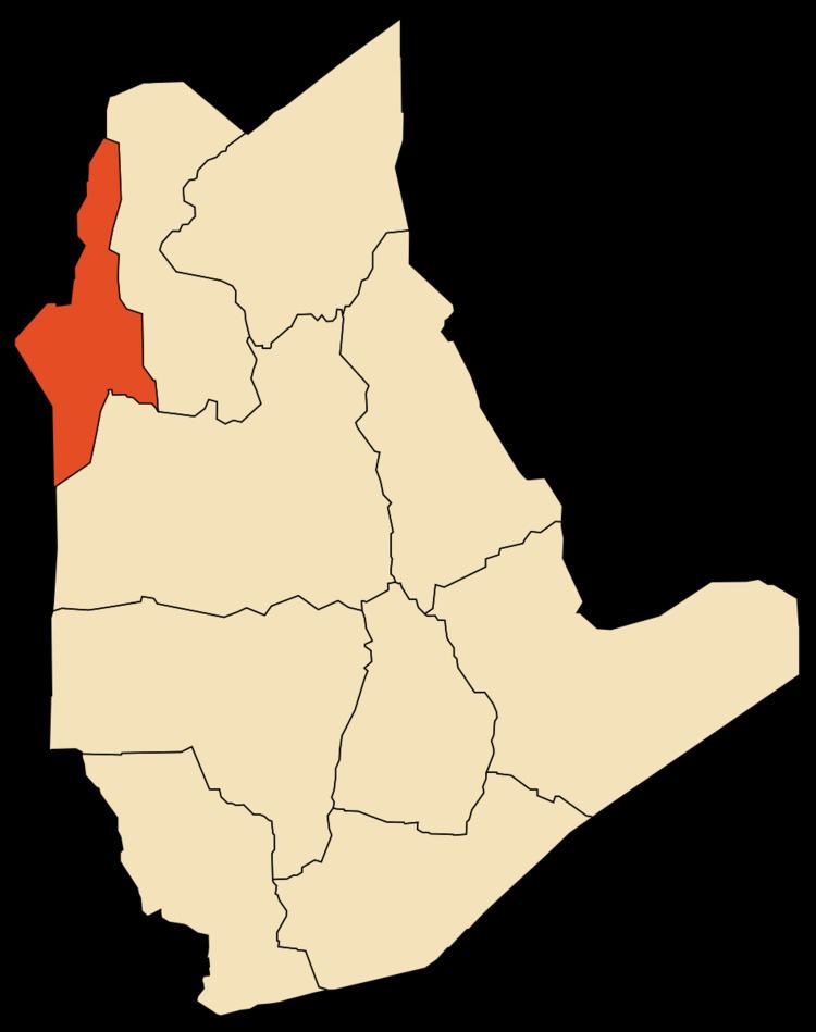
Map of In Ghar, Algeria
Geography
In Ghar lies at an elevation of 258 metres (846 ft) on a flat plain in the Sahara Desert of southern Algeria. An oasis lies to the east of the town; it is extensively used for agriculture.
Climate
In Ghar has a hot desert climate (Köppen climate classification BWh), with long, extremely hot summers and short, very warm winters, little to no precipitation throughout the year, as well as permanent sunshine and clear skies.
References
In Ghar Wikipedia(Text) CC BY-SA