
Country United States ZIP code 21530 Elevation 253 m Population 177 (2010) | Time zone Eastern (EST) (UTC-5) FIPS code 24-28425 Area 110 ha Local time Monday 4:41 AM | |
 | ||
Weather -7°C, Wind N at 3 km/h, 68% Humidity | ||
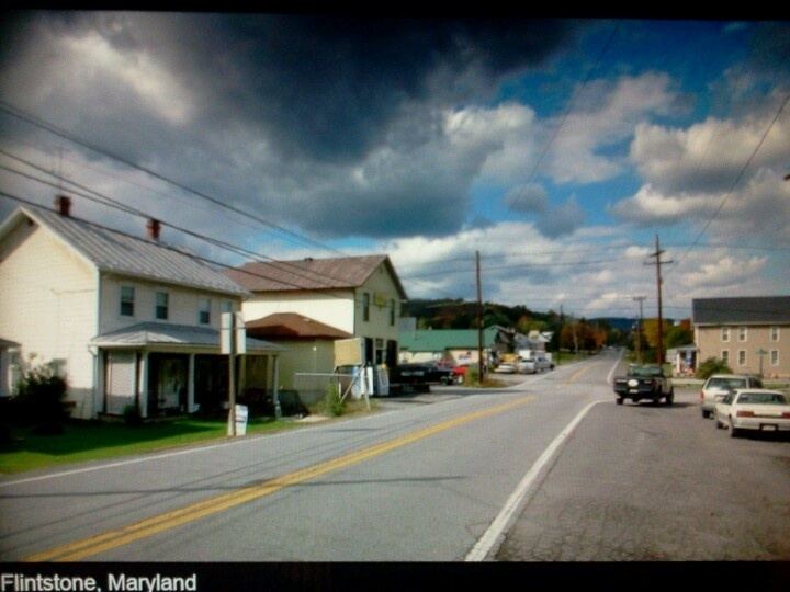
Flintstone is an unincorporated community and census-designated place (CDP) in Allegany County, Maryland, United States. As of the 2010 census it had a population of 177. It is part of the Cumberland, MD-WV Metropolitan Statistical Area.
Map of Flintstone, MD 21530, USA
Flintstone lies between the southern foot of Tussey Mountain and a water gap in Warrior Mountain formed by Flintstone Creek, a tributary of Town Creek, which flows south to the Potomac River. Flintstone is located just 1 mile (1.6 km) south of the Mason–Dixon line, the Maryland/Pennsylvania border. Rocky Gap State Park and Green Ridge State Forest are both in the Flintstone zip code. The Breakneck Road Historic District was listed on the National Register of Historic Places in 1980.
References
Flintstone, Maryland Wikipedia(Text) CC BY-SA