
Website rushcounty.in.gov Founded 1822 | Area 1,058 km² Population 17,004 (2013) Unemployment rate 4.2% (Apr 2015) | |
 | ||
Rivers Flatrock River, Big Blue River, Little Blue River | ||
Rush County is a county located in the U.S. state of Indiana. As of 2010, the population was 17,392. The county seat is Rushville.
Contents
- Map of Rush County IN USA
- History
- Geography
- Cities
- Towns
- Census designated places
- Adjacent counties
- Major highways
- Climate and weather
- Government
- Demographics
- References
Map of Rush County, IN, USA
History
Rush County was formed on April 1, 1822. It was named in honor of Dr. Benjamin Rush, who signed the Declaration of Independence.
Geography
According to the 2010 census, the county has a total area of 408.46 square miles (1,057.9 km2), of which 408.12 square miles (1,057.0 km2) (or 99.92%) is land and 0.34 square miles (0.88 km2) (or 0.08%) is water. It is drained by Big Blue River and Flat Rock Creek.
Cities
Towns
Census-designated places
Adjacent counties
Major highways
Climate and weather
In recent years, average temperatures in Rushville have ranged from a low of 17 °F (−8 °C) in January to a high of 84 °F (29 °C) in July, although a record low of −28 °F (−33 °C) was recorded in January 1994 and a record high of 108 °F (42 °C) was recorded in July 1901. Average monthly precipitation ranged from 2.55 inches (65 mm) in February to 5.06 inches (129 mm) in May.
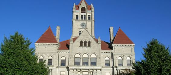
Government
The county government is a constitutional body, and is granted specific powers by the Constitution of Indiana, and by the Indiana Code.
County Council: The county council is the legislative branch of the county government and controls all the spending and revenue collection in the county. Representatives are elected from county districts. The council members serve four-year terms. They are responsible for setting salaries, the annual budget, and special spending. The council also has limited authority to impose local taxes, in the form of an income and property tax that is subject to state level approval, excise taxes, and service taxes.
Board of Commissioners: The executive body of the county is made of a board of commissioners. The commissioners are elected county-wide, in staggered terms, and each serves a four-year term. One of the commissioners, typically the most senior, serves as president. The commissioners are charged with executing the acts legislated by the council, collecting revenue, and managing the day-to-day functions of the county government.
County Officials: The county has several other elected offices, including sheriff, coroner, auditor, treasurer, recorder, surveyor and circuit court clerk. Each of these elected officers serves a term of four years and oversees a different part of county government. Members elected to county government positions are required to declare party affiliations and to be residents of the county.
Demographics
As of the 2010 United States Census, there were 17,392 people, 6,767 households, and 4,803 families residing in the county. The population density was 42.6 inhabitants per square mile (16.4/km2). There were 7,508 housing units at an average density of 18.4 per square mile (7.1/km2). The racial makeup of the county was 97.4% white, 0.8% black or African American, 0.3% Asian, 0.2% American Indian, 0.5% from other races, and 0.8% from two or more races. Those of Hispanic or Latino origin made up 1.1% of the population. In terms of ancestry, 23.4% were German, 16.8% were American, 12.0% were Irish, and 11.9% were English.
Of the 6,767 households, 32.8% had children under the age of 18 living with them, 54.9% were married couples living together, 10.9% had a female householder with no husband present, 29.0% were non-families, and 24.5% of all households were made up of individuals. The average household size was 2.54 and the average family size was 2.99. The median age was 40.6 years.
The median income for a household in the county was $47,697 and the median income for a family was $52,874. Males had a median income of $41,581 versus $30,035 for females. The per capita income for the county was $21,215. About 10.3% of families and 12.8% of the population were below the poverty line, including 17.4% of those under age 18 and 9.3% of those age 65 or over.