
OS grid reference TL030080 Post town HEMEL HEMPSTEAD Local time Saturday 10:44 AM | Sovereign state United Kingdom Postcode district HP1 Dialling code 01442 | |
 | ||
Weather 11°C, Wind S at 11 km/h, 90% Humidity | ||
Fields End is a hamlet to the North West of Hemel Hempstead, just beyond Warner's End on Boxted Road, in Hertfordshire, England. At the 2011 Census the population of the hamlet was included in the Dacorum ward of Chaulden and Warner's End.
The village is formally recognised as village within Hertfordshire by Hertfordshire County Council.
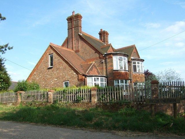
Fields End consisted largely of agricultural fields until planning permission was granted for a new residential estate to begin construction on green belt land between Warner's End and Potten End in the 1980s. The estate was completed in the late 1990s, with Dacorum council having made several attempts to continue to develop the remaining agricultural land of Fields End Farm in the intervening years.
Attempts to develop the fields around Fields End continue to be investigated by Dacorum council, with formal objections being registered at recently as December 2008.
Local schools are Potten End School, Micklem Primary and formerly Martindale Primary schools (closed 2008), and the John F Kennedy Catholic School. The site of Fields End Primary School, once on the corner of Fields End Lane and Boxted Road now sits under the Fields End estate housing development which was constructed in the early 1990s.
Neighbouring towns are the Hemel Hempstead district of Warner's End and the villages of Potten End and Little Heath.