
OS grid reference TQ218342 Dialling code 01293 | Sovereign state United Kingdom Postcode district RH12 4 | |
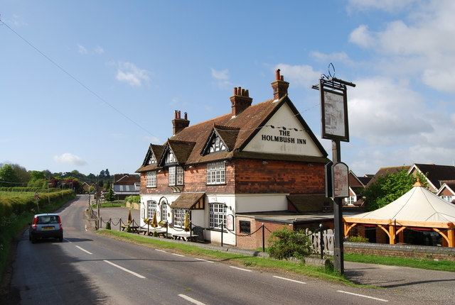 | ||
Faygate is a hamlet in the Horsham district of West Sussex, England. It lies on the A264 road 3.4 miles (5.4 km) south west of Crawley. It has a railway station on the Arun Valley Line with trains connecting to London and Portsmouth. The village is in the green belt between Crawley and Horsham.
Map of Faygate, Horsham, UK
The village of Faygate is directly north west of Colgate, across the A264 road. Other nearby settlements include Lambs Green, Rusper and Pease Pottage.
The name Faygate was first recorded in 1614.
References
Faygate Wikipedia(Text) CC BY-SA