
Vehicle registration JH-21 Elevation 201 m | Time zone IST (UTC+5:30) Lok Sabha constituency Dumka Population 89,645 (2011) | |
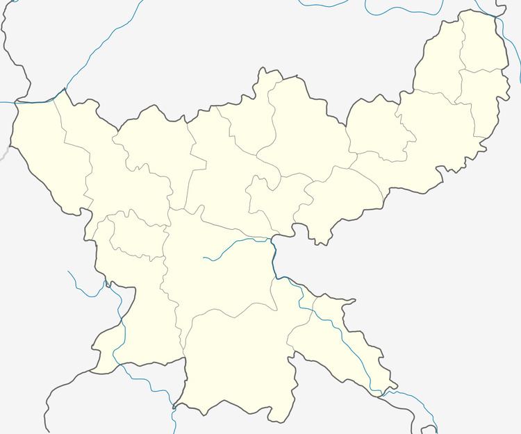 | ||
Fatehpur is a community development block that forms an administrative division in Jamtara district, Jharkhand state, India. It is located 27 km from Jamtara, the district headquarters.
Contents
Map of Fatehpur, Jharkhand 814166
Geography
Fatehpur is located at 24°6′56″N 86°59′51″E.
Fatehpur CD Block has 15 panchayats and 179 villages.
Panchayats of Fatehpur CD Block are: Agaiyasarmundi, Asanberia, Bamandiha, Bandarnacha, Banudih, Bindapathar, Chapuriya, Dhasaniya, Dumaria, Fatehpur, Jamjori, Khamarbad, Palajori, Simaldubi and Simladangal.
Demographics
As per 2011 Census of India, Fatehpur CD Block had a total population of 89,645, all of which were rural. There were 45,546 (51%) males and 44,099 (49%) females. Scheduled Castes numbered 6,920 and Scheduled Tribes numbered 42,090. Population below 6 years was 14,008.
Fatehpur is a village with a population of 4,107 as per 2011 census.
Literacy
As of 2011 census, the total number of literates in Fatehpur CD Block was 49,661 (65.66% of the population over 6 years) out of which 30,381 (61%) were males and 19,280 (39%) were females.
As of 2011 census Primary Census Abstract Tables Jamtara district had a population of above 6 years of 660,049 and the total number of literates in the district were 426,312 (64.59% of the population over 6 years). According to District Census 2011, literacy in Jamtara district was 64.59. Literacy in Jharkhand (for population over 7 years) was 66.41% in 2011. Literacy in India in 2011 was 74.04%.
Transportation
Chittaranjan railway station on the Howrah-Delhi main line is 18 km from Fatehpur. The Ajay forms the border between Jamtara district of Jharkhand and Bardhaman district of West Bengal. There is a narrow bridge for use by pedestrians and two wheelers, across the Ajay near Chittaranjan (Simjuri).