
Country United States GNIS feature ID 0428995 Area 95.21 km² Local time Thursday 1:18 PM | Time zone CST (UTC-6) Elevation 144 m Population 567 (2010) | |
 | ||
ZIP codes 62814, 62851, 62864, 62889 Weather 22°C, Wind SW at 14 km/h, 37% Humidity | ||
Farrington Township is one of sixteen townships in Jefferson County, Illinois, USA. As of the 2010 census, its population was 567 and it contained 246 housing units.
Contents
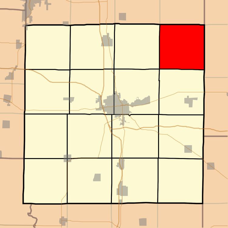
- Map of Farrington Township IL USA
- Geography
- Unincorporated towns
- Extinct towns
- Adjacent townships
- Cemeteries
- School districts
- Political districts
- References
Map of Farrington Township, IL, USA
Geography
According to the 2010 census, the township has a total area of 36.76 square miles (95.2 km2), of which 36.69 square miles (95.0 km2) (or 99.81%) is land and 0.07 square miles (0.18 km2) (or 0.19%) is water. The township is centered at 38°26'N 88°45′W (38.429,-88.757).
Unincorporated towns
(This list is based on USGS data and may include former settlements.)
Extinct towns
(These towns are listed as "historical" by the USGS.)
Adjacent townships
Cemeteries
The township contains these eight cemeteries: Falley, Greenwalt, Harmony, Lowery, McConnaughhay, Mifflin, Mount Zion and Wells Chapel.
School districts
Political districts
References
Farrington Township, Jefferson County, Illinois Wikipedia(Text) CC BY-SA