
- left Bolton Creek - elevation 138 m (453 ft) | - elevation 193 m (633 ft) Length 50 km | |
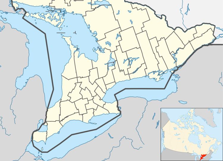 | ||
- location Tay Valley, Lanark County | ||
The Fall River is a river in Frontenac and Lanark Counties in Eastern Ontario, Canada. It is part of the Saint Lawrence River drainage basin, and flows from Sharbot Lake and through Bennett Lake to join the Mississippi River. The river is named after settlers of the late 17th century.
Contents
Course
The Fall River is fed from Sharbot Lake in Central Frontenac, Frontenac County and numerous springs, and it meanders along the Trans Canada Trail. It passes into Tay Valley, Lanark County and flows through the community of Maberly; fills the 20 km of Bennett Lake; flows by the community of Fallbrook; and about 50 kilometres (31 mi) from its origin, reaches its mouth at the Mississippi River.
Ecology
The river is bordered by forest and is home to fish, turtles, Blue Herons, beaver and otters