
Highest elevation 1,522 m (4,993 ft) Time zone EET (UTC+2) Local time Sunday 12:05 PM Municipality Megalopolis Regional unit Arcadia | Elevation 758 m (2,487 ft) Lowest elevation 350 m (1,150 ft) Postal code 220 21 Area code 27910 | |
 | ||
Weather 13°C, Wind W at 8 km/h, 51% Humidity | ||
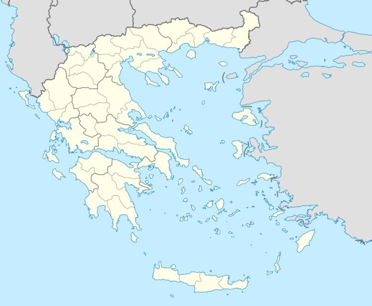
Falaisia (Greek: Φαλαισία, before 1918: Μπούρα - Boura) is a village and a former municipality in southwestern Arcadia, Peloponnese, Greece. Since the 2011 local government reform it is part of the municipality Megalopoli, of which it is a municipal unit. The municipal unit has an area of 274.926 km2. The seat of the municipality was in Leontari, 5 km northwest of the village Falaisia. The municipal unit Falaisia is located in the northern foothills of the Taygetus mountains, south of Megalopoli and north of Kalamata. It borders on Laconia to the southeast, and Messenia to the southwest.
Contents
Map of Falaisia 220 21, Greece
Subdivisions
The municipal unit Falaisia is subdivided into the following communities (constituent villages in brackets):
References
Falaisia Wikipedia(Text) CC BY-SA