Rahul Sharma (Editor)

Extreme points of Bhutan

Updated on
Edit
Like
Comment
Share on FacebookTweet on TwitterShare on LinkedInShare on Reddit
Extreme points of Bhutan

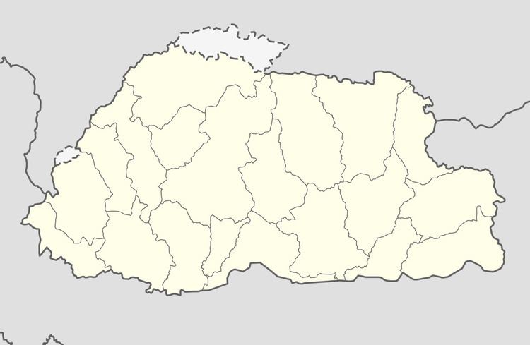
This is a list of the extreme points of Bhutan.

Contents

Latitude and longitude

  • North:
  • disputed: Gasa District-China border. 28°21′N 90°13′E
  • undisputed: Gasa District-China border, near Jigme Dorji National Park. 28°14′N 89°47′E
  • South: Sarpang District-Assam border. 26°42′N 89°46′E
  • West: Samtse District-Sikkim border, near Neora Valley National Park in India. 27°8′N 88°44′E
  • East: Trashigang District-Arunachal Pradesh border, near Sakteng Wildlife Sanctuary. 27°17′N 92°7′E
  • Altitude

  • The highest point measured from sea level is the summit of Gangkhar Puensum at 7,570 m (24,836 ft). Gangkhar Puensum is located in northwestern Bhutan along the borders of Gasa District, Wangdue Phodrang District, and China. 28°03′N 90°27′E
  • The lowest point is located in the Drangme Chhu, a river system in central and eastern Bhutan, at 97 m (318 ft) above sea level. The lowest point is located in eastern Sarpang District where the Mangde Chhu river crosses into India (Assam) near the Indian town of Manas.
  • Highest attainable by transportation

  • Road (mountain pass): The Lateral Road, the main east-west highway, traverses Trumshing La in central Bhutan at an altitude of over 3,800 m (12,467 ft).
  • Airport: Yongphulla Airport, a domestic airfield under renovation, near the town of Trashigang in Trashigang District, at 2,743 m (8,999 ft). 27°15′23″N 091°30′52″E
  • Highest geographical features

  • Lake:
  • River:
  • References

    Extreme points of Bhutan Wikipedia