Neha Patil (Editor)

Etropole Peak

Updated on
Edit
Like
Comment
Share on FacebookTweet on TwitterShare on LinkedInShare on Reddit
Etropole Peak

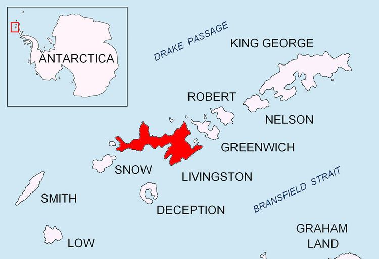
Etropole Peak (Vrah Etropole \'vr&h 'e-tro-po-le) is a 620m peak in Melnik Ridge, Livingston Island and is named after the town of Etropole in Central Bulgaria.

Contents

Map of Etropole Peak, Antarctica

Maps

  • L.L. Ivanov et al. Antarctica: Livingston Island and Greenwich Island, South Shetland Islands. Scale 1:100000 topographic map. Sofia: Antarctic Place-names Commission of Bulgaria, 2005.
  • L.L. Ivanov. Antarctica: Livingston Island and Greenwich, Robert, Snow and Smith Islands. Scale 1:120000 topographic map. Troyan: Manfred Wörner Foundation, 2009.
  • Location

    The peak is located at 62°36′07″S 60°08′25″W which is 660 m east of Melnik Peak, 620 m west of Sliven Peak and 1.92 km northwest of Atanasoff Nunatak (Bulgarian mapping in 2005 and 2009 from the Tangra 2004/05 topographic survey).

    References

    Etropole Peak Wikipedia


    Similar Topics