
- elevation 1,626 ft (496 m) | - elevation 853 ft (260 m) Country United States of America | |
 | ||
- location | ||
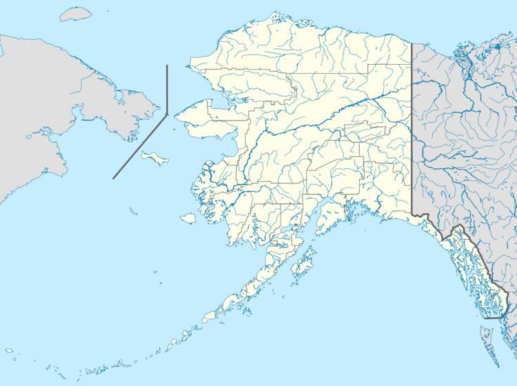
The Etivluk River is a 56-mile (90 km) tributary of the Colville River in the U.S. state of Alaska. A bend in the river about 15 miles (24 km) from the mouth has been identified as one of the most remote locations in mainland Alaska. It is about 120 miles (190 km) from the nearest towns of Ambler to the southwest and Atqasuk to the north and farther from any other settled area in the state.
Map of Etivluk River, Alaska, USA
The river begins at Nigtun Lake and flows generally to the north-northeast before joining the Colville River. The Nigu River enters the Etivluk from the right near its headwaters, and the joined rivers are sometimes referred to as the Etivluk-Nigu River. The entire length of the Etivluk flows through a remote area of northern Alaska, entirely north of the Arctic Circle.