
 | ||
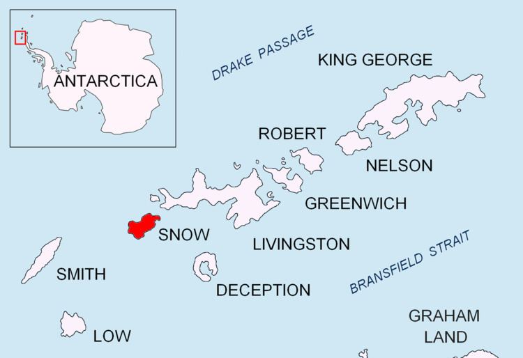
Esteverena Point is the rocky point projecting 700 m into Boyd Strait to form the west extremity of Snow Island in the South Shetland Islands, Antarctica. The feature is named by Argentina.
Contents
Location
The cape is located at 62°46′30″S 61°31′53″W which is 2.89 km south-southwest of Byewater Point, 9.08 km north-northwest of Cape Conway, 4.1 km north by west of Monroe Point and 40.64 km east-northeast of Cape Smith, Smith Island (British mapping in 1968, Argentine in 1980, and Bulgarian in 2009).
Map
References
Esteverena Point Wikipedia(Text) CC BY-SA