
Time zone UTC -3 Dial plan +598 4399 (+4 digits) | Postal code 91008 Population 213 (2011) | |
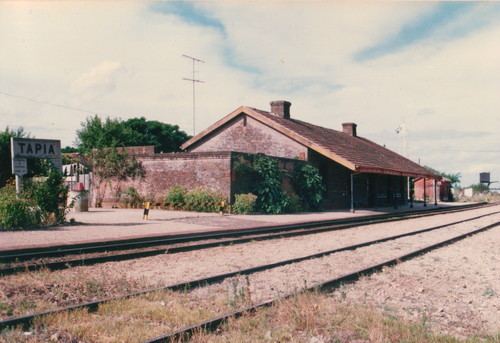 | ||
Estación Tapia or Tapia is a village or populated centre in the Canelones Department of southern Uruguay.
Contents
Map of Estaci%C3%B3n Tapia, Canelones Department, Uruguay
Location
It is located on Route 88, about 12 kilometres (7.5 mi) east of San Jacinto. The railroad track Montevideo - Minas passes by the southeast limits of the village and the stream Arroyo de los Negros flows southwest of it.
Population
In 2011 Estación Tapia had a population of 213.
Source: Instituto Nacional de Estadística de Uruguay
References
Estación Tapia Wikipedia(Text) CC BY-SA