
Elevation 2,072 m (6,798 ft) | Length 1,100 km (680 mi) | |
 | ||
Similar Serra do Cipó, Cachoeira do Tabuleiro, Caraça, Chapada, Mantiqueira Mountains | ||
Ouro preto black gold in the serra do espinha o mountains minas gerais brazil part 2
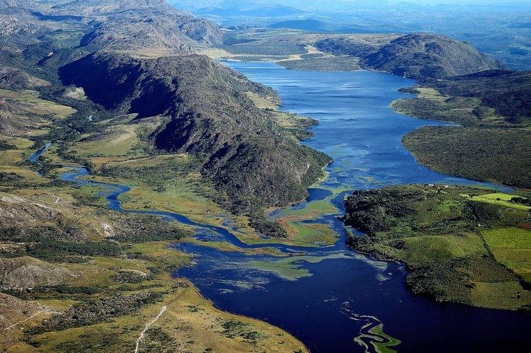
The Espinhaço Mountains (Portuguese: Serra do Espinhaço, [ˈsɛʁɐ dw iʃpiˈɲasu]) are a mountain range in Brazil. The range runs roughly north and south through the states of Minas Gerais and Bahia, extending for approximately 1,100 km (680 mi). It forms the divide between the upper watershed of the São Francisco River and those of the shorter rivers which flow east into the Atlantic, including the Doce, the Jequitinhonha, and the Pardo rivers. Pico do Sol, its highest peak, rises to 2,072 metres (6,798 ft), in Catas Altas town (Caraça National Park). The historical town of Diamantina are located in the Espinhaço Mountains. The Espinhaço Mountains were a major via through which Minas Gerais was settled during the Gold Rush of the 18th century.
Contents
- Ouro preto black gold in the serra do espinha o mountains minas gerais brazil part 2
- Map of EspinhaC3A7o Mountains BocaiC3BAva State of Minas Gerais Brazil
- References