
Area 56 ha (140 acres) Highest elevation 290 m (950 ft) Elevation 290 m | Width 0.9 km (0.56 mi) Population Uninhabited Max length 950 m | |
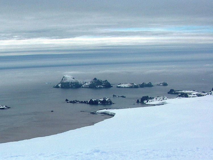 | ||
Esperanto Island is the largest and northwesternmost island in the Zed group off the north coast of Varna Peninsula on Livingston Island in the South Shetland Islands, Antarctica. The island is ice-free, rocky, rising to 290 m (951 ft) and extending 950 by 900 m (1,040 by 980 yd), with surface area 56 hectares (140 acres). Situated 70 m (77 yd) to the northwest of the neighbouring Phanagoria Island, and 2.7 km (1.7 mi) northwest of Williams Point on Livingston Island. The area was visited by early 19th century sealers.
Contents
Map of Esperanto Island, Antarctica
The island is named after the constructed international language Esperanto.
Location
Esperanto Island is located at 62°25′43″S 60°10′23″W. British mapping in 1968, Chilean in 1971, Argentine in 1980, Bulgarian in 2005 and 2009.
References
Esperanto Island Wikipedia(Text) CC BY-SA