
 | ||
Erma Knoll (Ermenska Mogila \'er-men-ska mo-'gi-la) is a 412m peak in upper Huron Glacier, Livingston Island. The peak was first visited on 17 December 2004 by the Bulgarian Lyubomir Ivanov from Camp Academia, and was mapped by Bulgaria in 2005 and 2009 from the Tangra 2004/05 topographic survey. The knoll is named after Erma River in western Bulgaria.
Contents
Location
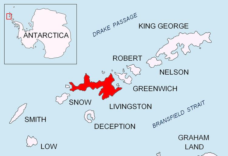
The knoll is located at 62°38′31″S 60°08′01″W which is 1.6 km east-southeast of Kuzman Knoll, 1.3 km northeast of Zograf Peak and 390 m northeast of Lozen Nunatak.
Maps
References
Erma Knoll Wikipedia(Text) CC BY-SA