
Adm. region Oberbayern Vehicle registration ED | Time zone CET (UTC+1) Website landkreis-erding.de | |
 | ||
University University of Applied Management Points of interest Therme Erding, Stadtpark, Urzeitmuseum ‑ Sammlun, Museum Erding, Bauernhausmuseum | ||
Erding (German: Erding, Bavarian: Arrdeng) is a district in Bavaria, Germany. It is bounded by (from the north and clockwise) the districts of Landshut, Mühldorf, Ebersberg, Munich and Freising.
Contents
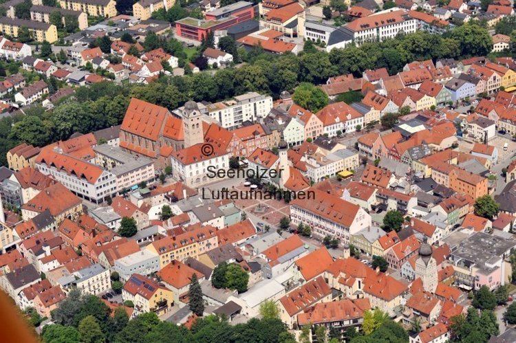
Map of Erding, Germany
History
The region is one of the oldest parts of Bavaria. Erding was located on the way between two important centres of power in the Wittelsbach state, Munich and Landshut. About 1230 a castle was built on the river Sempt in order to secure the road. This castle grew to become the city of Erding.
The district of Erding was founded in 1946. Slight modifications took place in the administrative reform of 1971, when some villages from neighbouring districts were awarded to Erding.
Geography
The district covers agriculturally used areas northeast of Munich. Several affluents of the Isar River cross the district from south to north, among them the Sempt. In the northwest there is the Erdinger Moos, which was once a large fen. A substantial part of this swampy area was drained in order to build the new airport of Munich, which was opened to the public in 1992.