
Time zone CET (UTC+1) Area 13.94 km² Local time Saturday 6:51 AM | Elevation 1,180 ft (360 m) ZIP code 72119 Population 3,718 (2008) Area code 07073 | |
 | ||
Weather -1°C, Wind S at 5 km/h, 89% Humidity | ||
Entringen is one part and the administrative seat of the municipality Ammerbuch in the district of Tübingen in the state of Baden-Württemberg (Germany).
Contents
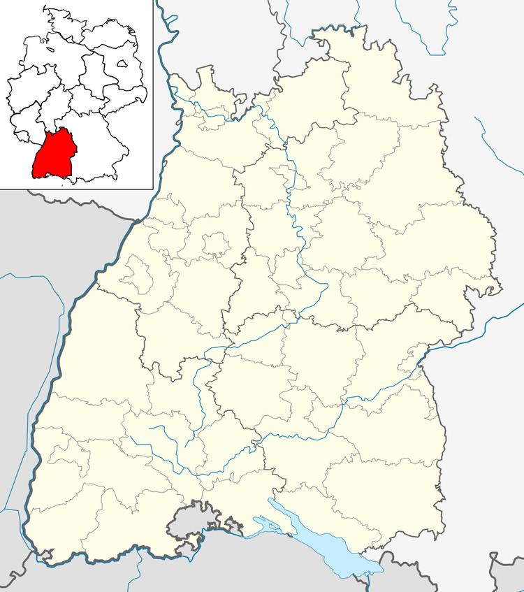
Map of Entringen, 72119 Ammerbuch, Germany
Geography
Entringen is on the western edge of the Schönbuch in 360 to 545 meters height. The cities Tübingen and Herrenberg are each about six miles away and accessible quickly by the B 28 or Ammertalbahn. Saint Michael's Evangelical Church dominates the town center with its striking green tower. Hohenentringen Castle overlooks the town from a hill to the east of the town center.
History
The earliest findings in Entringen are Alamanni graves from the 5th century. The grave of a well-equipped warrior was found in the 1930s in the area of today's Bahnhofstraße/Zeppelinstraße, and points to an Alemannic settlement dating to the 5th century. In 1999, a horse grave was found near the warrior's grave site, and is thought to be the horse belonging to the warrior. Entringen developed over the centuries by the Alemannic settlement to a predominantly agricultural, Württemberg village. The name Antringen first appeared in 1075 in conjunction with the Lord Adalbertus de Antringen on the charter of the Hirsau abbey. In the year 1284, Hohenentringen is mentioned for the first time. In 1296, the Bebenhausen Abbey acquires the Entringer Fronhof. Construction of the present St. Michael's Church began in 1452.
The village of Entringen had about 1,100 people in 1600. Due to the plague and the Thirty Years War, the population declined to about 470. In 1806, the road from Tübingen to Herrenberg, that ran through Altingen and Reusten, was moved to Entringen. Shortly thereafter, in 1808, Entringen became a part of Oberamt Herrenberg instead of Oberamt Tübingen. In 1827, the cemetery was moved from its previous location at St. Michael's church to the edge of the village. In the years 1843-44, a new town hall was built. In 1855, the municipality acquired six looms in order to provide a practical education, as well as livelihood, for children from poor families. The local Volunteer Fire Department was founded in 1862. In 1877 the Lords of Ow acquired the Hohenentringen Castle.
In the years 1909-1910, Entringen was connected to the newly constructed Ammertalbahn, linking Entringen by rail with Tübingen, Herrenberg, and Stuttgart. Gypmus mining began between Entringen and Breitenholz in 1910. The public swimming pool was constructed in 1936. Two years later, Entringen was transferred from Oberamt Herrenberg back to the district of Tübingen. Entringen was part of the Baden-Württemberg district reform in 1971. Six previously independent villages were united as the municipality of Ammerbuch on December 1, 1971. Today Entringen has about 3,700 inhabitants and is a place with good infrastructure and high recreational value. The coat of arms of the formerly independent municipality Entringen contains a horizontal black deer rack with a floating duck reflecting on water; it was accepted by the community in 1929. Entringen's official colors are white and red.
Attractions
The origins of the ' 'Church St. Michaelgo to the 9th Century back (hall church). 1275 The parish is first mentioned (Diocese Constance). The oldest bell, the Ave-Maria, is from the first half of the 14th Century. The nave of the Gothic parish church was built in 1452 and reformed several times inside. The last major renovation was in 1967. The organ was begun by Christian Gotthilf Haußdörffer and Johann Christian Hagemann completed 1764th 1972 is installed in the old housing, a new organ by Oesterle. In 1999, the organ of brown is redeveloped and extended sound. In the choir is a triptych by Manfred Luz (2002): Michael has the fallen angel in his place shows him at the same time the way to the light. With the district Kittelsthal the city Ruhla since 1990 is a partnership of the parishes.
The CastleHohenentringenwas created in the 12th Century on top of the mountain, probably because it was down in the village too unsafe. The founders were the lords Entringer (Adalbertus de Antringen). By 1300, died from the Entringer gentlemen. Then took the Ehinger, Hailfinger Gültlinger and the castle. The present castle was built in the 15th and 16th Century and rebuilt more often. Five related families lived there in 1417. On Sundays, they went with their 100 children in so stately train to church that first arrived at the village, while the latter left the castle. This scene was painted in 1913 by Gunhild von Ow and hangs today in the guest room. was on 29 Born in March 1779 on Hohenentringen. As a Christian educator and father, a teacher of the Swabian pietism as one of the great pioneers of the Inner Mission and, not least as a song writer he is the story received in. Naturpark Schönbuch is in there in Entringer Won Steingart a Hermann-Lons Fountain, designed by a group of friends at the Tübingen artists Ugge Bärtle built in the mid-1920s.