 | ||
Entrada sandstone
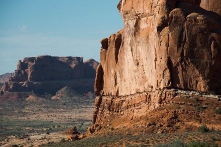
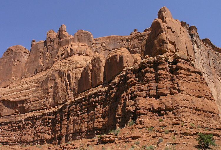
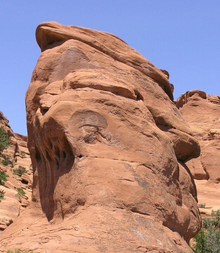
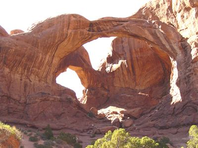
The Entrada Sandstone is a formation in the San Rafael Group that is found in the U.S. states of Wyoming, Colorado, northwest New Mexico, northeast Arizona and southeast Utah. Part of the Colorado Plateau, this formation was deposited during the Jurassic period sometime between 180 and 140 million years ago in various environments, including tidal mudflats, beaches and sand dunes. The Middle Jurassic San Rafael Group was dominantly deposited as ergs (sand seas) in a desert environment around the shallow Sundance Sea.
Contents
- Entrada sandstone
- Stunning views of entrada sandstone cliffs in cathedral valley capitol reef national park
- Age and history of investigation
- Members
- Places found
- References
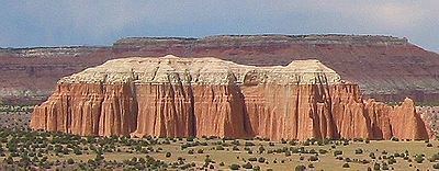
Stunning views of entrada sandstone cliffs in cathedral valley capitol reef national park
Age and history of investigation
This formation has been dated to the early to middle Callovian stage of the latest Middle Jurassic. The type locality and place for which the unit is named is Entrada Point, located in the northern part the San Rafael Swell in Emery County, Utah.

The Entrada Sandstone was named as one of the four formations of the San Rafael Group by James Gilluly and Reeside in 1928. In the 1928 description, the Entrada is overlain by the Curtis Formation, and overlies the Carmel Formation. In the Curtis Mountains region of northeastern Arizona, the Entrada is overlain by the Wanakah Formation. Gregory and Moore worked out the geographic extent of the formation and gave an overview of it in 1931. The extent was revised several times afterwards (most recently in 1992 by Condon). It was divided into the Gunsight Butte, Cannonville and Escalante members by Thompson and Stokes in 1970. The principal reference for the formation was written in 1988 by Peterson.
Members
Entrada members are (in alphabetical order):
Places found
Entrada Sandstone is found in these geologic locations:
Found in these parklands (incomplete list):
Spatial distribution: