 | ||
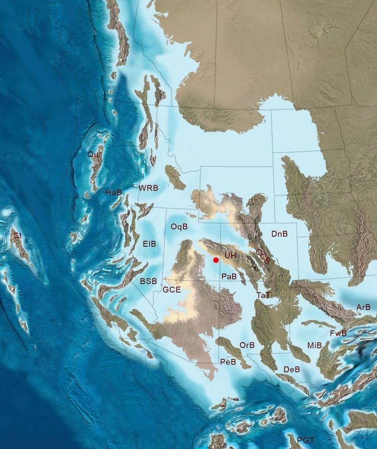
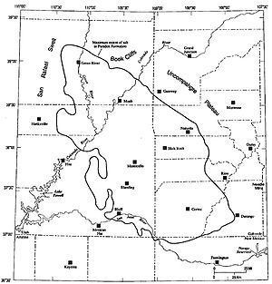
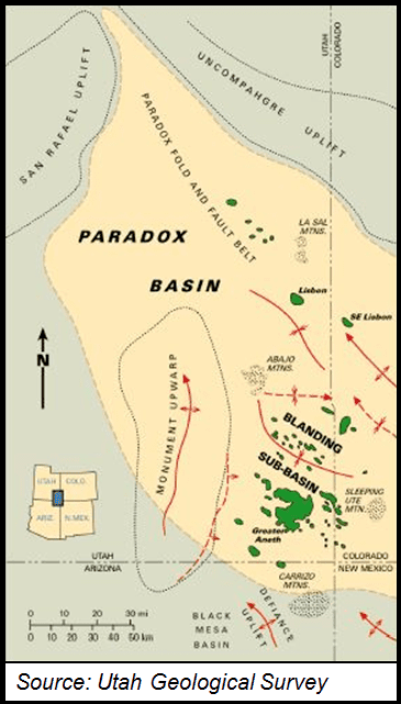
The Paradox Basin is an asymmetric foreland basin located mostly in southeast Utah and southwest Colorado, but extending into northeast Arizona and northwest New Mexico. The basin is a large elongate northwest to southeast oriented depression formed during the late Paleozoic Era. The basin is bordered on the east by the tectonically uplifted Uncompahgre Plateau, on the northwest by the San Rafael Swell and on the west by the Circle Cliffs Uplift.
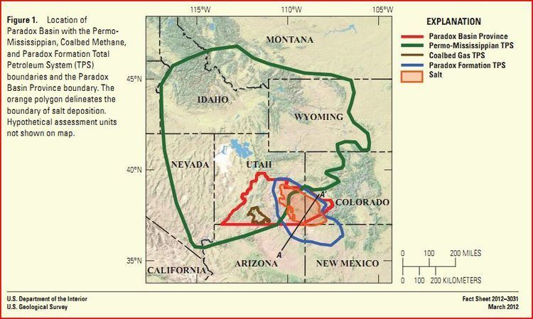
Its areal size is around 33,000 square miles (85470 km2). The combined sedimentary strata of the Paradox Basin are more than 15,000 feet (4600 m) thick in some places.
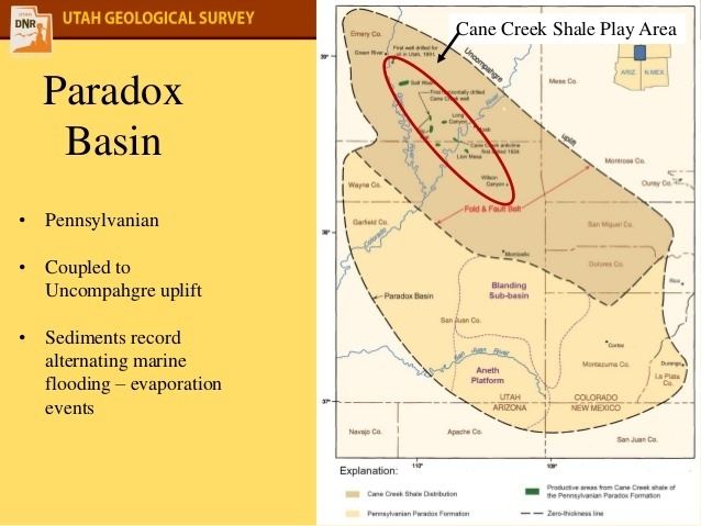
Unlike most Rocky Mountain basins, the Paradox Basin is an evaporite basin containing sediments from alternating cycles of deep marine and very shallow water. As a result of the thick salt sequences and the fact that salt is ductile at relatively low temperatures and pressures, salt tectonics play a major role in the post-Pennsylvanian structural deformation within the basin.