Elevation 206 m (676 ft) Area 51.08 km² Local time Saturday 3:31 AM Dialling code 02938 | Time zone CET/CEST (UTC+1/+2) Population 12,748 (30 Jun 2010) Postal code 59469 | |
 | ||
Weather 3°C, Wind SE at 11 km/h, 80% Humidity | ||
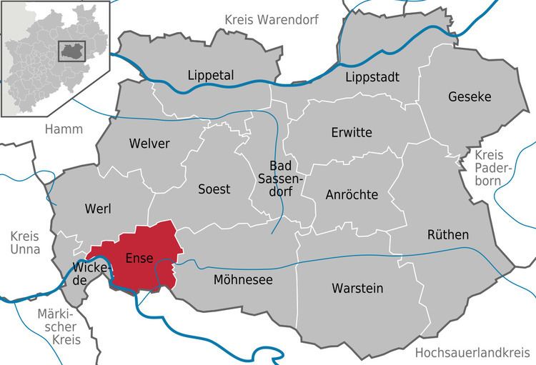
Ense is a municipality in the district of Soest, in North Rhine-Westphalia, Germany.
Contents
- Map of 59469 Ense Germany
- Geography
- Neighbouring municipalities
- Division of the town
- Twin towns
- References
Map of 59469 Ense, Germany
Geography
Ense is situated on the river Möhne, approx. 12 km north-west of Arnsberg and 12 km south-west of Soest. Ense lies at the northside of the Sauerland and at the south side of the Haarstrang.
Neighbouring municipalities
Division of the town
Ense consists of the following 15 districts:
Twin towns
References
Ense Wikipedia(Text) CC BY-SA
