
Admin. region Unterfranken Time zone CET/CEST (UTC+1/+2) Area 69.11 km² Local time Tuesday 4:36 AM Dialling code 09734 | Postal codes 97705 Population 7,726 (31 Dec 2008) Postal code 97705 Administrative region Lower Franconia | |
 | ||
Weather 4°C, Wind W at 19 km/h, 89% Humidity | ||
Burkardroth saalemusicum 2016
Burkardroth is a municipality in the district of Bad Kissingen in Bavaria in Germany.
Contents
- Burkardroth saalemusicum 2016
- Map of Burkardroth Germany
- Cold water challenge evergreens burkardroth
- Geography
- Divisions of the municipality
- History
- Sister cities
- Sightseeing
- References
Map of Burkardroth, Germany
Cold water challenge evergreens burkardroth
Geography
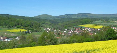
Burkardroth lies on the south boundary of the biosphere reserve Rhön about 14 km northwest of the district capital of Bad Kissingen. On the north, it borders on the district of Rhön-Grabfeld.
Divisions of the municipality
There are 12 towns in the municipality:
History
The present municipality (Markgemeinde) was created in 1972.
Sister cities
Sightseeing
The most important architectural monuments are the church of St. Petrus, which dates from the 17th century, and the chapel of the former Cistercian monastery of Frauenroth.
References
Burkardroth Wikipedia(Text) CC BY-SA