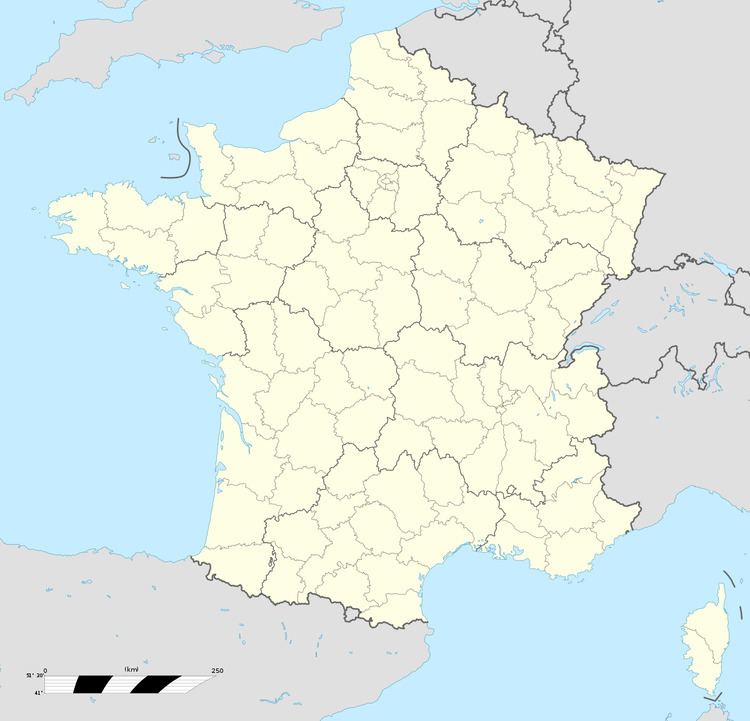
Canton Fauquembergues Local time Saturday 2:34 AM | Area 11.1 km² | |
 | ||
Weather 6°C, Wind S at 10 km/h, 89% Humidity | ||
Enquin-les-Mines is a town and former commune in the Pas-de-Calais department in the Hauts-de-France region of France.
Contents
Map of 62145 Enquin-les-Mines, France
The inhabitants of the town of Enquin-les-Mines are known as "Enquinois, Enquinoises."
The commune was surrounded by the municipalities of Erny-Saint-Julien, Estrée-Blanche and Enguinegatte. The commune merged with the latter of these on 1 January 2017 to form the commune nouvelle of Enquin-lez-Guinegatte.
Geography
Enquin-les-Mines is a farming village situated 12 miles (19 km) southwest of Saint-Omer, at the D77 and D158 crossroads, by the banks of the small river Laquette.
History
The village was subject to much damage during the siege of Thérouanne in 1553.
The neighbouring hamlets of Fléchinelle and Serny were joined with the commune in 1822.
