
Canton Fauquembergues Local time Friday 11:58 PM | Area 8.92 km² | |
 | ||
Weather 8°C, Wind S at 8 km/h, 90% Humidity | ||
Enguinegatte (Dutch: Ingwinegate) is a town and former commune in the Pas-de-Calais department in the Hauts-de-France region of France.
Contents
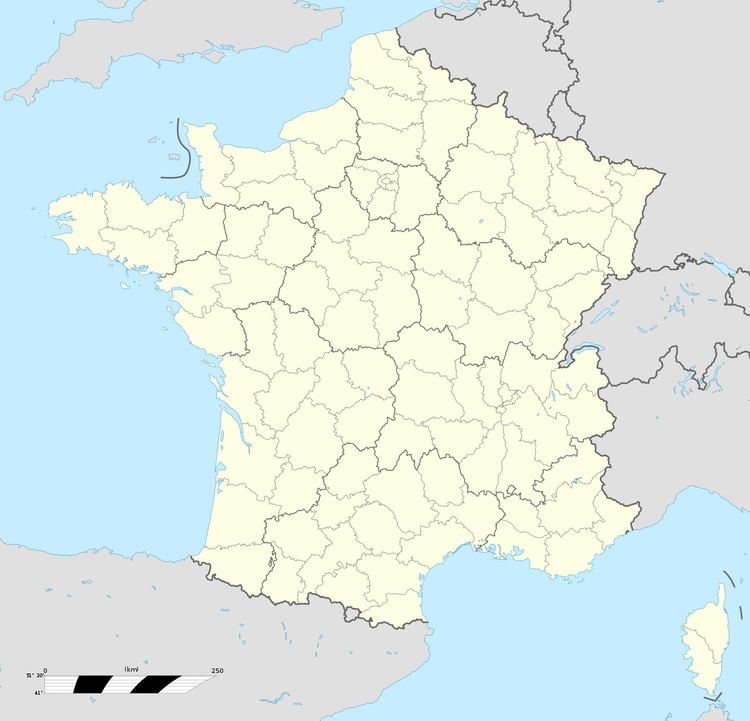
Map of Enguinegatte, France
The commune merged with Enquin-les-Mines on 1 January 2017 to form the commune nouvelle of Enquin-lez-Guinegatte.
Geography
Enguinegatte is a farming village situated 10 miles (16 km) southwest of Saint-Omer, at the D77 and D158E2 crossroads.
History
Known as Guinegate in medieval times, it is the site of several late 15th and early 16th century battles. The first was the Battle of Guinegate, the later and more famous, the Battle of the Spurs, in 1513.
The village was largely destroyed in the Second World War.
Places of interest
References
Enguinegatte Wikipedia(Text) CC BY-SA