
Country Canada Settled 1830s Time zone EST (UTC-5) Population 2,930 (2011) | Incorporated 1855 Postal Code FSA N0N Local time Friday 7:44 PM | |
 | ||
Weather -7°C, Wind NW at 23 km/h, 42% Humidity | ||
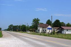
Enniskillen is a township in the Canadian province of Ontario, within Lambton County. It is located at the intersection of Highway 21 (Oil Heritage Road) and Rokeby Line. The economy of the township is based on agriculture. It was named after Sir Galbraith Lowry Cole’s father who was the Earl of Enniskillen, Northern Ireland.
Contents
Map of Enniskillen, ON, Canada
Communities
The township comprises the communities of Oil City, Glen Rae and Marthaville, and surrounds but does not include the independent municipalities of Petrolia and Oil Springs.
Demographics
Population trend:
References
Enniskillen, Ontario Wikipedia(Text) CC BY-SA