
 | ||
Enitsa Peak (Bulgarian: връх Еница, ‘Vrah Enitsa’ \'vr&h e-'ni-tsa) is the sharp rocky peak rising to 2500 on the side ridge that trends 9.15 km northeastwards from Mount Giovinetto on the main crest of north-central Sentinel Range in Ellsworth Mountains, Antarctica. It surmounts Rumyana Glacier to the southeast and Delyo Glacier to the northwest.
Contents
Map of Enitsa Peak, Antarctica
The peak is named after the settlement of Enitsa in Northern Bulgaria.
Location
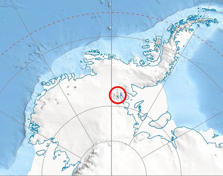
Enitsa Peak is located at 78°15′47″S 85°54′41″W, which is 5 km northeast of Mount Giovinetto, 5.6 km east of Mount Viets, 7.9 km west of Mount Jumper, 4.23 km northwest of Versinikia Peak and 4.85 km north of Evans Peak. US mapping in 1961 and 1988.
Maps
References
Enitsa Peak Wikipedia(Text) CC BY-SA