
 | ||
Embree Glacier is a 20 mi long glacier in the north-central part of Sentinel Range, Ellsworth Mountains, draining the eastern slopes of Mount Hale, Mount Davis and Mount Bentley, the northeast slopes of Mount Anderson, and the northwestern slopes of Probuda Ridge, flowing north-northeastwards and north of Mount Schmid turning east to join Rutford Ice Stream east of Mount Tegge. Named by the US-ACAN for Maj. Henry Embree, USAF, who participated in the establishment of the South Pole Station in 1956.
Contents
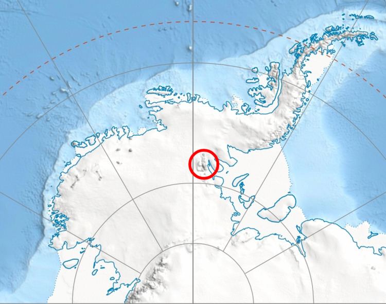
Map of Embree Glacier, Antarctica
Location
Embree Glacier is centred at 77°59′00″S 85°10′00″W. US mapping in 1961, updated in 1988.
Tributary glaciers
Maps
References
Embree Glacier Wikipedia(Text) CC BY-SA