
Elevation 4,247 m | Prominence 347 m | |
 | ||
Similar Mount Rutford, Mount Tyree, Mount Shinn, Vinson Massif | ||
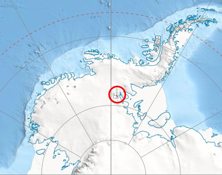
Mount Bentley (78°07′S 86°14′W) is a mountain (4,245 m) standing 2 nautical miles (3.7 km; 2.3 mi) north of Mount Anderson in the main western ridge of the Sentinel Range, Antarctica. It was discovered by the Marie Byrd Land Traverse party, 1957–58, and named for Dr. Charles R. Bentley, leader of the traverse party and chief traverse seismologist at Byrd Station, 1957-59.
Contents
Map of Mount Bentley, Antarctica
Maps
References
Mount Bentley Wikipedia(Text) CC BY-SA