
 | ||
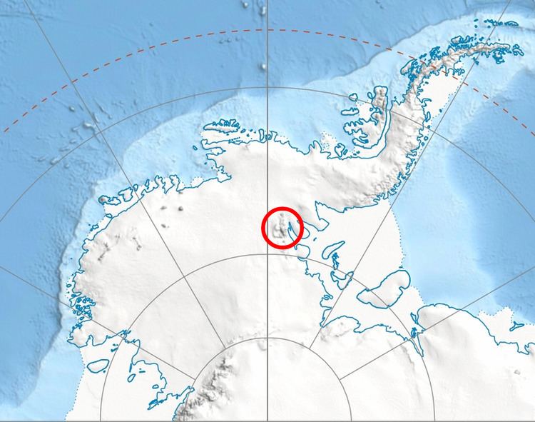
Marsa Glacier (Bulgarian: ледник Марса, ‘Lednik Marsa’ \'led-nik 'mar-sa) is the 5 km long and 1.5 km wide glacier in Bangey Heights on the east side of the main ridge of north-central Sentinel Range in Ellsworth Mountains, Antarctica. It is situated northeast of Patleyna Glacier and northwest of the head of Padala Glacier. The glacier drains the north slopes of Golemani Peak, flows north-northwestwards between Oreshak Peak and Fucha Peak, and joins Embree Glacier west of Mount Schmid.
Contents
Map of Marsa Glacier, Antarctica
The glacier is named after the medieval settlement of Marsa in Southern Bulgaria.
Location
Marsa Glacier is centred at 78°01′50″S 85°41′40″W. US mapping in 1961 and 1988.
Maps
References
Marsa Glacier Wikipedia(Text) CC BY-SA