
Electors 25,710 (2017) | Dates current 2008–present Area 142 km² | |
 | ||
Demographic Electoral region of South Metropolitan | ||
Kwinana is an electoral district of the Legislative Assembly in the Australian state of Western Australia.
Contents
Map of Kwinana, Calista WA 6167, Australia
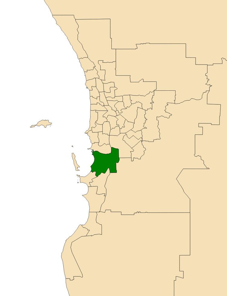
The district is located in the south-western suburbs of Perth.
History
Kwinana was first created for the 2008 state election. It was a new urban seat created as a result of the one vote one value reforms. For the most part it combined the southern portion of the district of Cockburn with the northern part of the district of Peel; it also took in territory previously covered by the districts of Rockingham and Serpentine-Jarrahdale.
At its creation, Kwinana was calculated to have a Labor Party majority of 69.2% to 30.8% versus the Liberal Party, making it a very safe Labor seat. However, Labor candidate Roger Cook won the seat only narrowly against independent challenger Carol Adams, prevailing 50.79% to 49.21%. Adams, the mayor of Kwinana, launched her independent candidacy after unsuccessfully contesting Labor preselection for the seat.
Geography
Kwinana includes all the local government area of the City of Kwinana as well as a part of the City of Rockingham. The district takes in the suburbs of Naval Base, Hope Valley, Mandogalup, Wandi, Kwinana Beach, Postans, The Spectacles, Anketell, Medina, Orelia, Calista, Kwinana Town Centre, Parmelia, Bertram, Casuarina, Leda, Wellard, Hillman, as well as parts of Cooloongup, Waikiki and Baldivis.