
 | ||
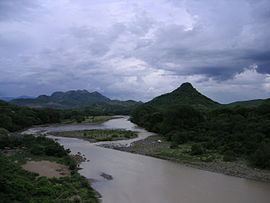
The El Salvador–Honduras border is a continuous line of 256 km long, separating the east and the north of El Salvador from the territory of Honduras. There are two excerpts:
The border runs alongside the Salvadoran departments of Chalatenango, Cabañas, San Miguel, Morazán, La Union and the Honduran departments of Valle, La Paz, Intibucá, Lempira and Ocotepeque. Passes at the highest point of the territory of El Salvador, the Cerro El Pital.
The limit was first set in 1841 when the two countries were part of the Central American Federation separate this Federation, along with the Nicaragua form a confederation. In 1856, the three countries separated by setting the current international borders.
References
El Salvador–Honduras border Wikipedia(Text) CC BY-SA