Girish Mahajan (Editor)

Eisenstadt Umgebung District

Updated on
Edit
Like
Comment
Share on FacebookTweet on TwitterShare on LinkedInShare on Reddit
Country
  
Austria

Time zone
  
CET (UTC+1)

Area
  
455.5 km²

Number of municipalities
  
23

State
  
Burgenland

NUTS code
  
?

Population
  
40,996 (2012)

Team
  
SV St. Margarethen

Eisenstadt-Umgebung District

Points of interest
  
Lake Neusiedl, Familypark Neusiedlersee, Leithagebirge Nature Park, Heimathaus, Leitha Mountains

The Bezirk Eisenstadt-Umgebung (Croatian: Kotar Željezno-okolica) is an administrative district (Bezirk) in the federal state of Burgenland, Austria.

Contents

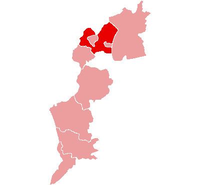
Map of Eisenstadt-Umgebung, Austria

The area of the district is 455.5 km², with a population of 40,996 (2012), and a population density 90 persons per km². The administrative center of the district is Eisenstadt (Croatian: Željezno).

Administrative divisions

The district consists of the below municipalities and towns:

  • Breitenbrunn (1,907)
  • Donnerskirchen (1,745)
  • Großhöflein (1,940)
  • Hornstein (2,769)
  • Klingenbach (1,167)
  • Leithaprodersdorf (1,159)
  • Loretto (463)
  • Mörbisch am See (2,322)
  • Müllendorf (1,326)
  • Neufeld an der Leitha (3,187)
  • Oggau am Neusiedler See (1,807)
  • Oslip (1,279)
  • Purbach am Neusiedlersee (2,701)
  • Sankt Margarethen im Burgenland (2,711)
  • Schützen am Gebirge (1,400)
  • Siegendorf (2,959)
  • Steinbrunn (2,370)
  • Stotzing (805)
  • Trausdorf an der Wulka (1,908)
  • Wimpassing an der Leitha (1,265)
  • Wulkaprodersdorf (1,886)
  • Zagersdorf (994)
  • Zillingtal (926)
  • References

    Eisenstadt-Umgebung District Wikipedia