Established 1908 Elevation 72 m Local time Saturday 8:21 PM | Postcode(s) 5630 Edillilie Koppio Postal code 5630 | |
 | ||
Weather 18°C, Wind W at 26 km/h, 76% Humidity | ||
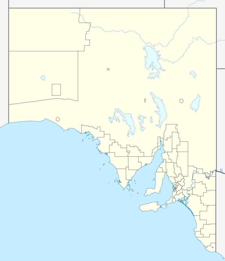
Edillilie is a small town on Eyre Peninsula in South Australia. It is on the Tod Highway and Eyre Peninsula Railway north of Port Lincoln.
Map of Edillilie SA 5630, Australia
The town was named after Edillilie Creek. The railway station was originally named Mortlock Siding. It still has bulk grain silos, however passenger service ended many years ago. The grain silos are serviced by Viterra.
Edillilie is located within the federal Division of Grey, the state electoral district of Flinders and the local government area of the District Council of Lower Eyre Peninsula.
References
Edillilie, South Australia Wikipedia(Text) CC BY-SA
