
Established 1842 Ocean Flinders Ocean Ocean | Region Eyre and Western Date formed 1842 | |
 | ||
Area 4,760 square kilometres (1,838 sq mi) Lgas | ||
The County of Flinders is one of the 49 counties of South Australia.
Contents
Description
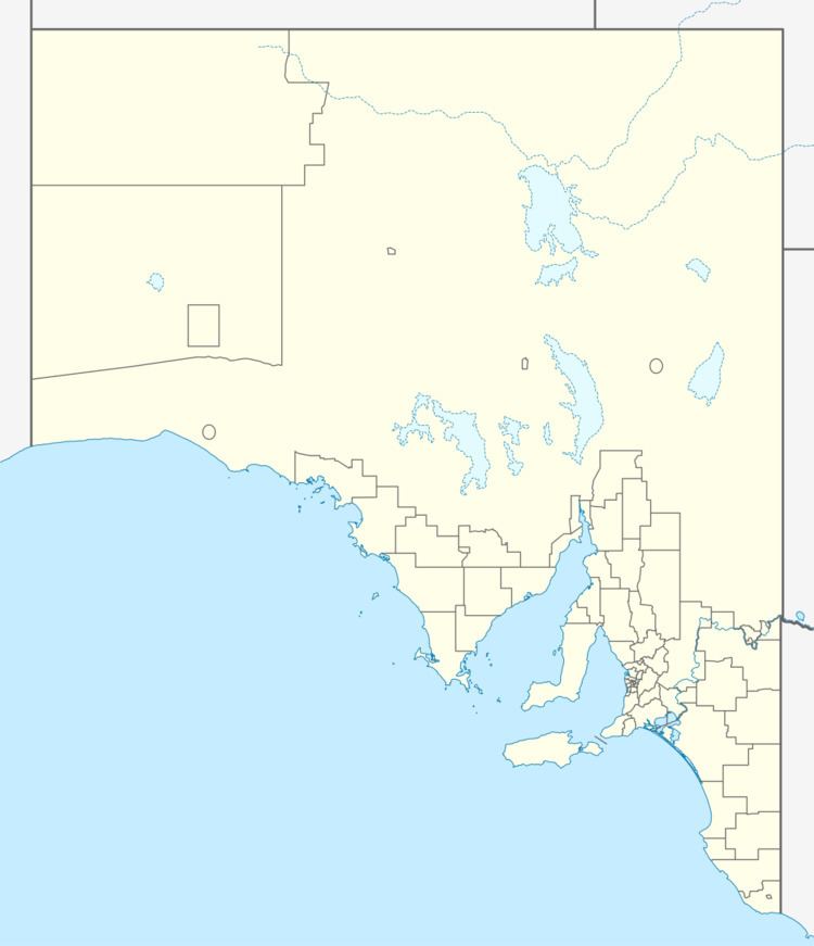
The County of Flinders covers the southern part of Eyre Peninsula “bounded on the north by a line connecting Point Drummond with Cape Burr, and on all other sides by the seacoast, including all islands adjacent to the main land.”
History
The County of Flinders was proclaimed by George Grey, the third Governor of South Australia on 2 June 1842 for an area extending from Cape Wiles on the west side of the peninsula to Cape Catastrophe in the south and to the “northern extremity of Louth Bay” on the peninsula’s east coast. The county was enlarged to its present extent in 1872. It was named by Grey after Matthew Flinders, the British navigator.
The following fifteen hundreds were proclaimed within the county between the years 1851 and 1903 - Cummins and Flinders in 1903, Hutchison in 1867, Koppio in 1867, Lake Wangary in 1871, Lincoln and Louth in 1851, Mortlock in 1904, Sleaford in 1871, Stokes in 1878, Uley in 1871, Ulipa in 1879, Wanilla in 1871 , Warrow in 1869 and Yaranyacka in 1872.
List of constituent hundreds
The County of Flinders consists of the following hundreds: