
Type Highway Length 177 km | Route number(s) B90 | |
 | ||
Coordinates (North end) (South end) | ||
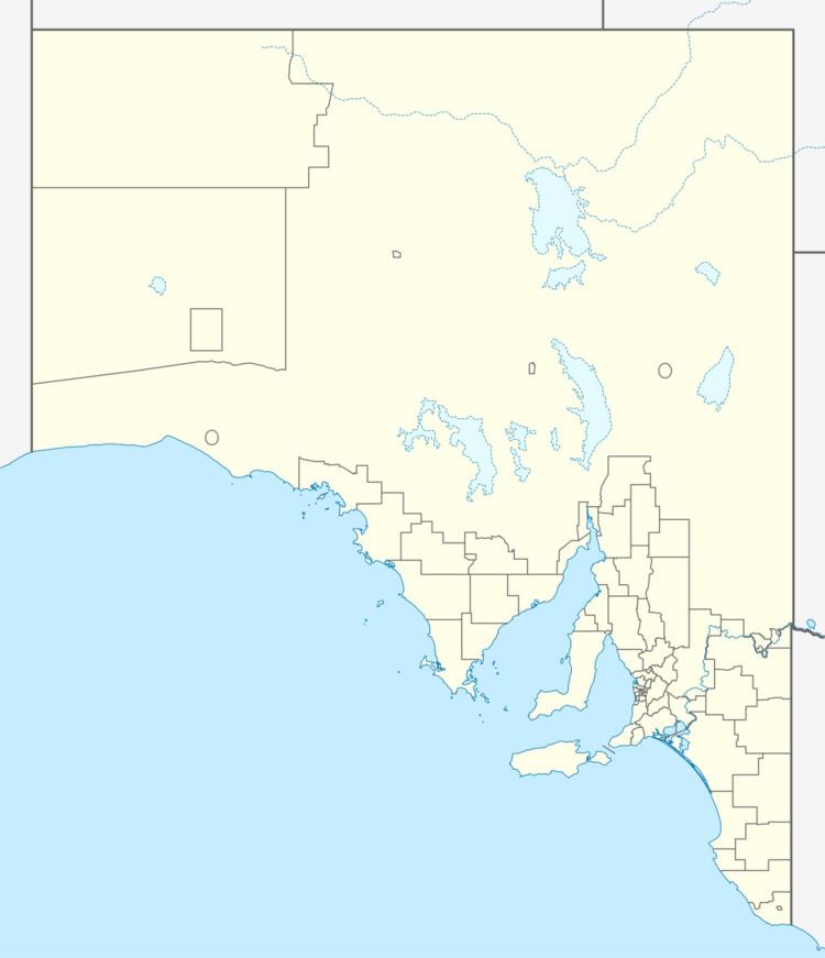
Tod Highway is an important 177 kilometre highway serving South Australia's Eyre Peninsula's wheatbelt. It runs from Kyancutta, on the Eyre Highway to Port Lincoln and is signed as B90. It practically divides the Eyre Peninsula into eastern and western halves. It is named after Robert Tod who explored the area in 1839. The highway passes through wheat, barley, wool and livestock farms. The highway provides access to grain terminals in Port Lincoln. The main town on the highway is Lock, practically in the centre of the Eyre Peninsula.
Map of Tod Hwy, South Australia, Australia
References
Tod Highway Wikipedia(Text) CC BY-SA