
Elevation 197 m (646 ft) Area 25.83 km² Local time Saturday 8:41 AM | District Schwalm-Eder-Kreis Time zone CET/CEST (UTC+1/+2) Population 7,298 (30 Jun 2009) Administrative region Kassel | |
 | ||
Weather 2°C, Wind NE at 2 km/h, 90% Humidity | ||
Edermünde is a community in northern Hesse, Germany.
Contents
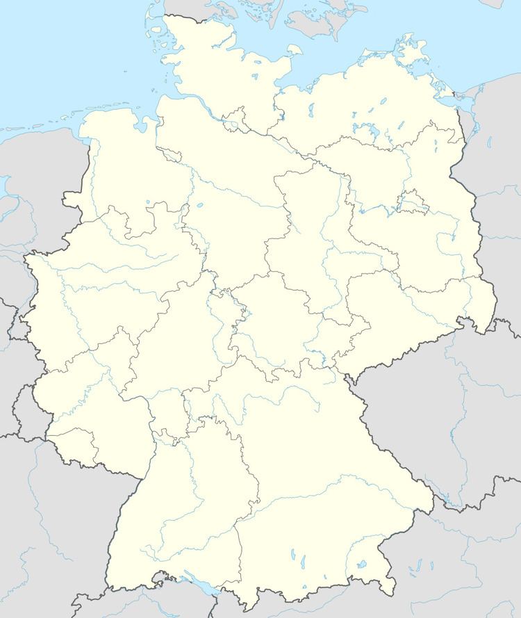
- Map of EdermC3BCnde Germany
- Location
- Constituent communities
- Neighbouring communities
- Municipal partnerships
- Museums
- Buildings
- Natural monuments
- Sons and daughters of the community
- References
Map of Ederm%C3%BCnde, Germany
Location
Edermünde lies in the north of the Schwalm-Eder district not far southwest of Kassel. This is where the river Eder empties into the river Fulda. The constituent community of Besse is nestled in the Langenberge range that rises to the west.
Constituent communities
The community consists of the centres of Besse, Grifte, Haldorf and Holzhausen am Hahn.
Neighbouring communities
Edermünde is surrounded by four neighbouring communities:
Municipal partnerships
Museums
Buildings
Natural monuments
The basalt knoll offers an outstanding view of the surrounding area. The path up to the plateau was built anew by Holzhausen citizens in the years 1999 and 2000 and is in good hiking condition.
Sons and daughters of the community
References
Edermünde Wikipedia(Text) CC BY-SA