Elevation 337 m (1,106 ft) Area 30.61 km² Local time Monday 9:15 AM Administrative region Kassel | District Schwalm-Eder-Kreis Time zone CET/CEST (UTC+1/+2) Population 5,371 (30 Jun 2009) Postal code 34305 | |
 | ||
Weather 3°C, Wind E at 6 km/h, 76% Humidity | ||
Niedenstein is a small town and an officially recognized climatic spa in the Schwalm-Eder district in northern Hesse, Germany.
Contents
- Map of Niedenstein Germany
- Location
- Neighbouring communities
- Constituent communities
- History
- Town council
- Town partnership
- Museums
- Buildings
- Natural monuments
- Personalities
- References
Map of Niedenstein, Germany
Location
Niedenstein's main settlement lies to the southeast of the Habichtswald Nature Park, right on the western slope of the Langenberge, a low mountain range reaching 557 m. The nearest city is Kassel, about 15 km to the northeast.
Neighbouring communities
In the north, Niedenstein abuts Schauenburg, in the east beyond the Langenberge it adjoins Baunatal and Edermünde, and in the southeast its constituent community of Metze on Gudensberg. In the south, the constituent community of Kirchberg, through which flows the river Ems, borders on Fritzlar, whose main town lies about 11 km away from Niedenstein. In the west, Niedenstein borders on Bad Emstal.
Constituent communities
The town has five centres. Besides the main town, also called Niedenstein, there are Ermetheis, Metze (about 1000 inhabitants), Kirchberg (about 900 inhabitants) and Wichdorf.
History
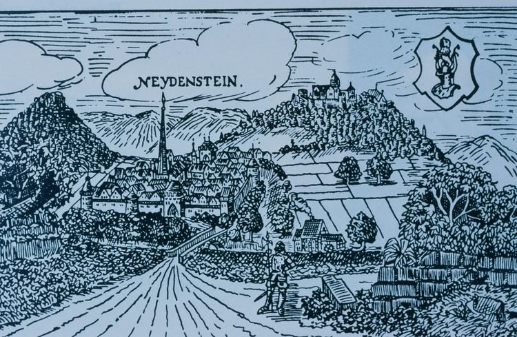
Niedenstein Castle had its first documentary mention in 1254.
Town council
Niedenstein's town council is made up of 23 members.
(as of municipal elections held on 26 March 2006)
Town partnership
Niedenstein maintains a partnership with one place:
It lies about 80 km northwest of Paris in Picardy.
Museums
Niedenstein is home to the Heimatmuseum Kirchberg ("Kirchberg Homeland Museum")
