
 | ||
Visit the eastern shore of virginia
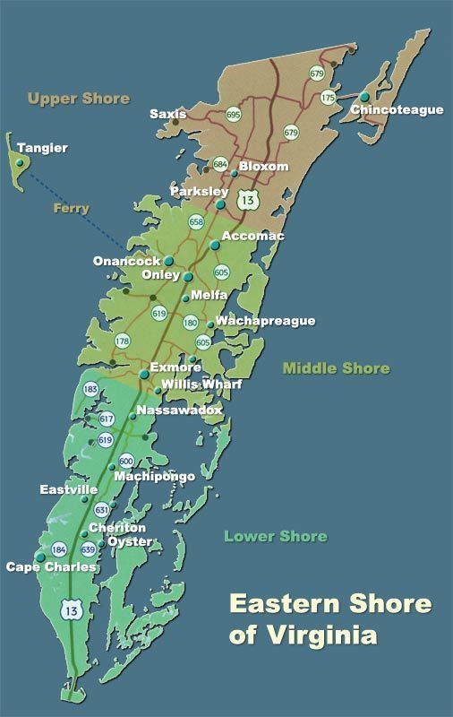
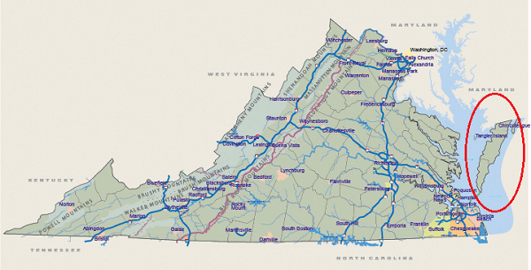
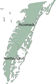
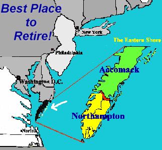
The Eastern Shore of Virginia consists of two counties (Accomack and Northampton) on the Atlantic coast of the Commonwealth of Virginia in the United States. The 70-mile-long (110 km) region is part of the Delmarva Peninsula and is separated from the rest of Virginia by the Chesapeake Bay. Its population was 45,553 as of 2010.
Contents
- Visit the eastern shore of virginia
- Your guide to the lower eastern shore of virginia
- History
- Airports
- References
The terrain is overall very flat, ranging from sea level to just 50 feet (15 m) above sea level. The rural area has been devoted to cotton, soybean, vegetable and truck farming, and large-scale chicken farms. Since the late 20th century, vineyards have been developed in both counties, and the Eastern Shore has received recognition as an American Viticultural Area (AVA). It is characterized by sandy and deep soil. The weather in the area has temperate summers and winters, significantly affected by the Chesapeake Bay and the Atlantic Ocean.
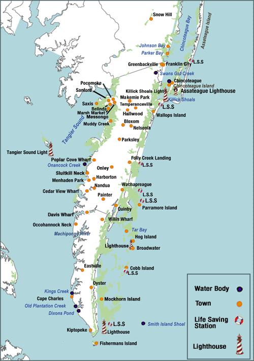
The area includes barrier islands. At the northern end of the Atlantic side is the beach community of Chincoteague, famous for its annual wild pony roundup, gathered from Assateague Island. Wallops Flight Facility, a NASA space launch base, is located near Chincoteague. Tangier Island, off the western shore in the Chesapeake Bay, is another day-tourist destination.
The Eastern Shore, geographically removed from the rest of Virginia, has had a unique history of settlement and development influenced by agriculture, fishing, tourism, and the Pennsylvania Railroad. William G. Thomas describes the Eastern Shore during the late 19th and early 20th century as "a highly complex and interdependent landscape". He continues:
"It was a liminal place, a zone of interpenetration, where the settlement patterns, speech, demography, and political outcomes defined its place in the South but its engagement with technology and rapid transformation of the landscape betrayed other allegiances, motives, forces, and effects."
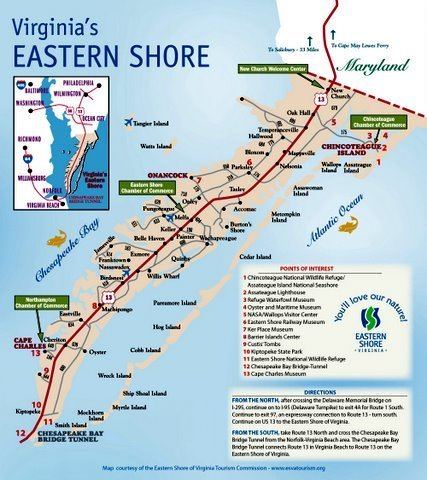
The 23-mile-long (37 km) Chesapeake Bay Bridge-Tunnel, which is part of U.S. Route 13, spans the mouth of the Bay and connects the Eastern Shore to South Hampton Roads and the rest of Virginia. Before the Bridge-Tunnel was built in 1964, a ferry provided the continuation of U.S. 13 across this stretch of water.
Your guide to the lower eastern shore of virginia
History
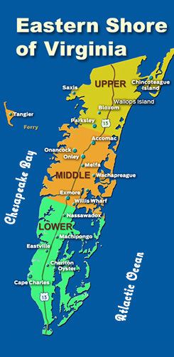
Accomac Shire was established in the Virginia Colony by the House of Burgesses in 1634 under the direction of King Charles I. It was one of the original eight shires of Virginia, and consisted of the whole Eastern Shore. The shire's name comes from the Native American word Accawmack.
In 1642, the name was changed to Northampton County by the English. (In England, "shires" and "counties" were the same thing). In 1663, Northampton County was split into two counties. The northern two thirds took the original Accomac name, while the southern third remained as Northampton.
In 1670, the Virginia Colony's Royal Governor William Berkeley abolished Accomac County, but the Virginia General Assembly re-created it in 1671. In 1940, the General Assembly officially added a "k" to the end of the county's name to arrive at its current spelling, which is Accomack County.